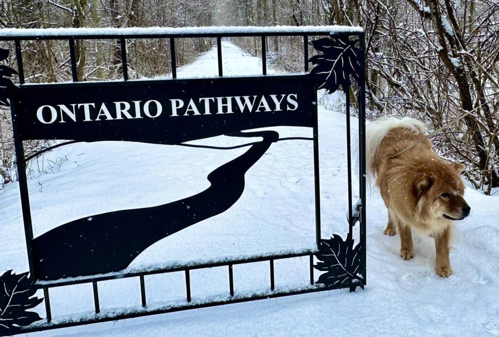
The Ontario Pathway is a large rail-to-trail network with 25 miles of trails in Ontario County. This is a flat trail that is stroller friendly and easy to walk. There are benches every so often for those who need to take a break. There are numerous trails across the county but the one that really stands out is the Phelps stretch of the Ontario Pathways, because of the waterfalls.
Please note: some posts may contain affiliate links which means we could earn a small commission if you purchase products from our site, at no additional cost to you.
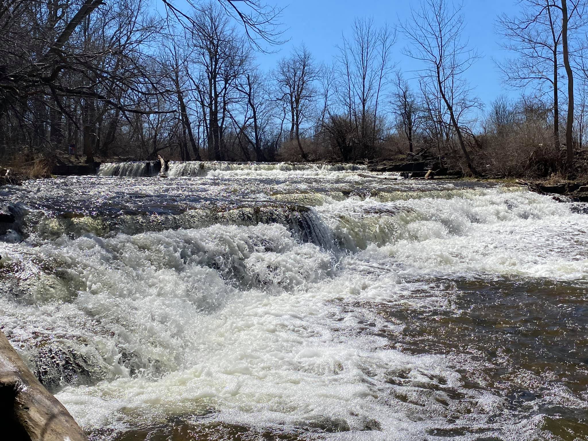
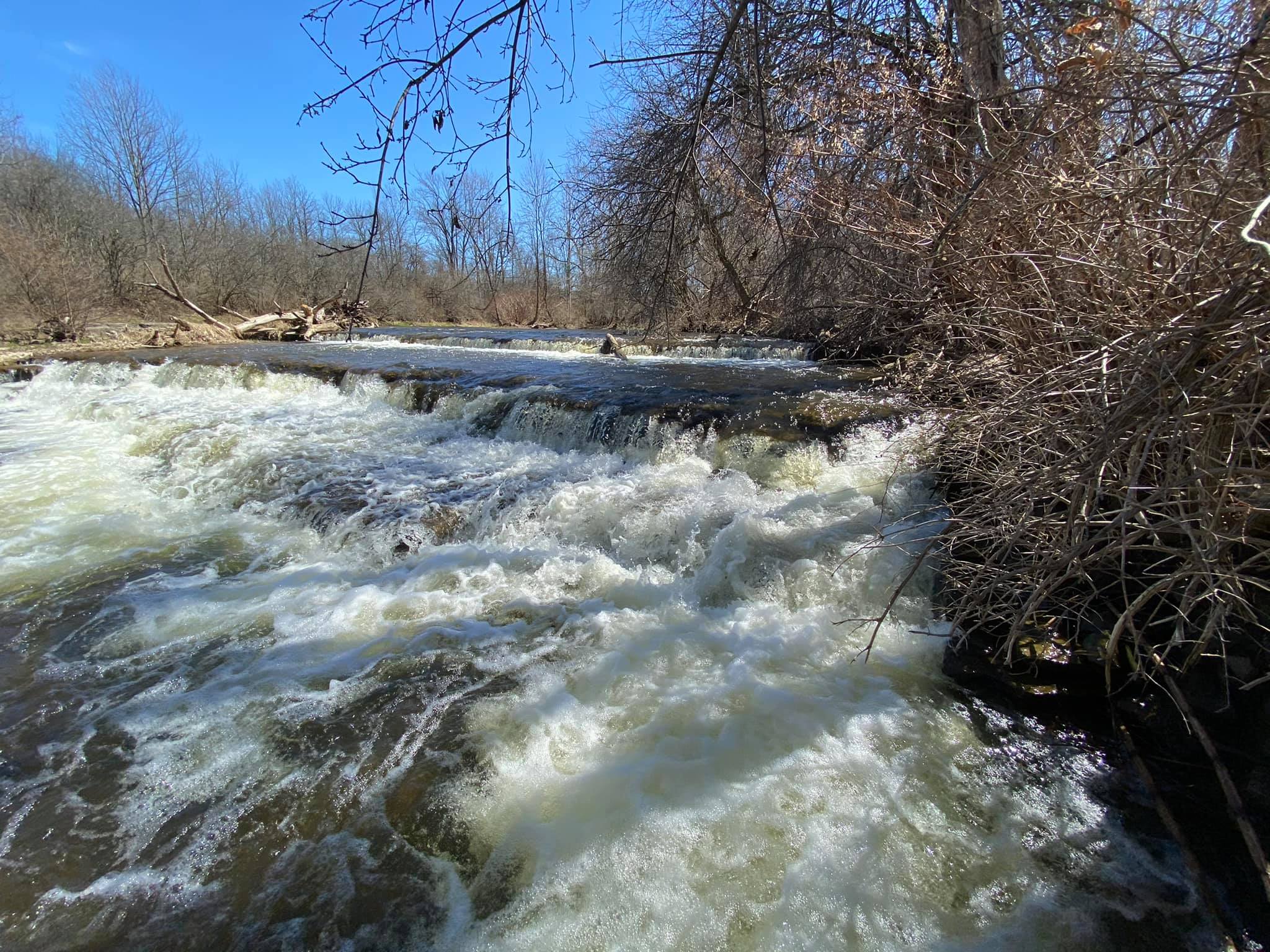
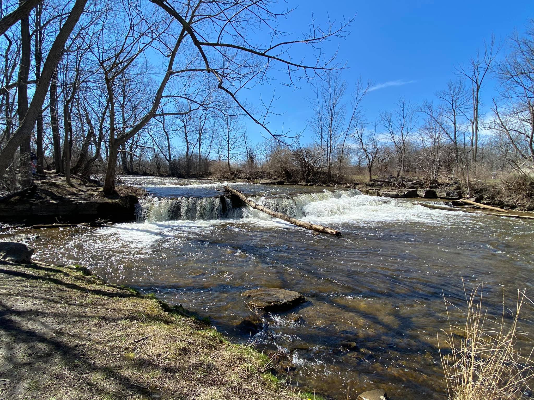
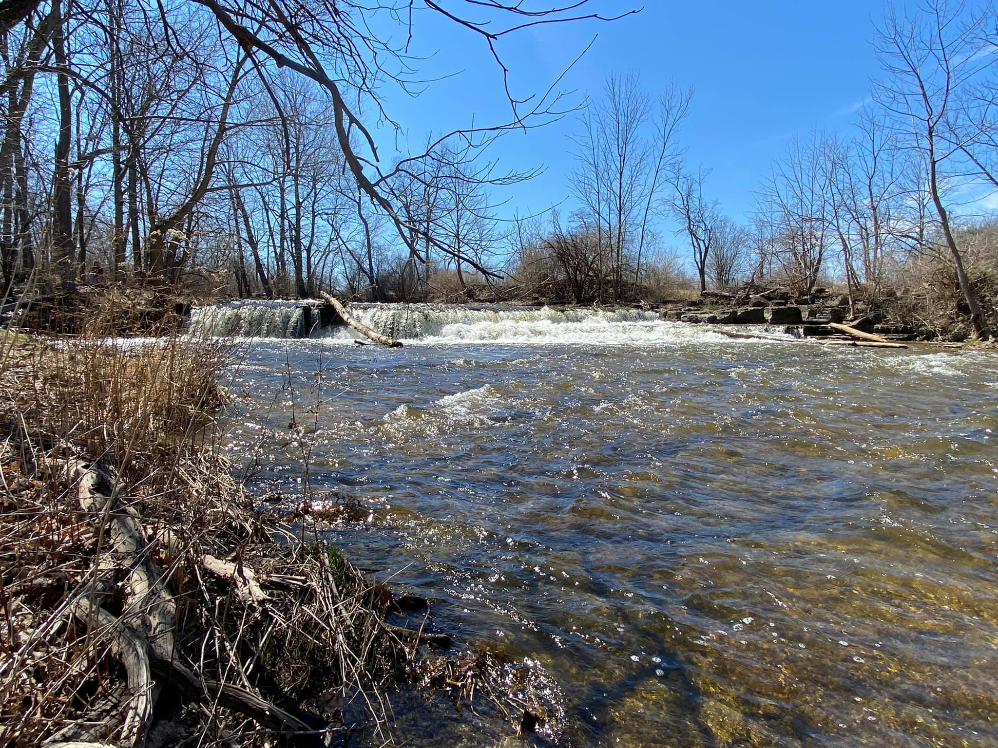
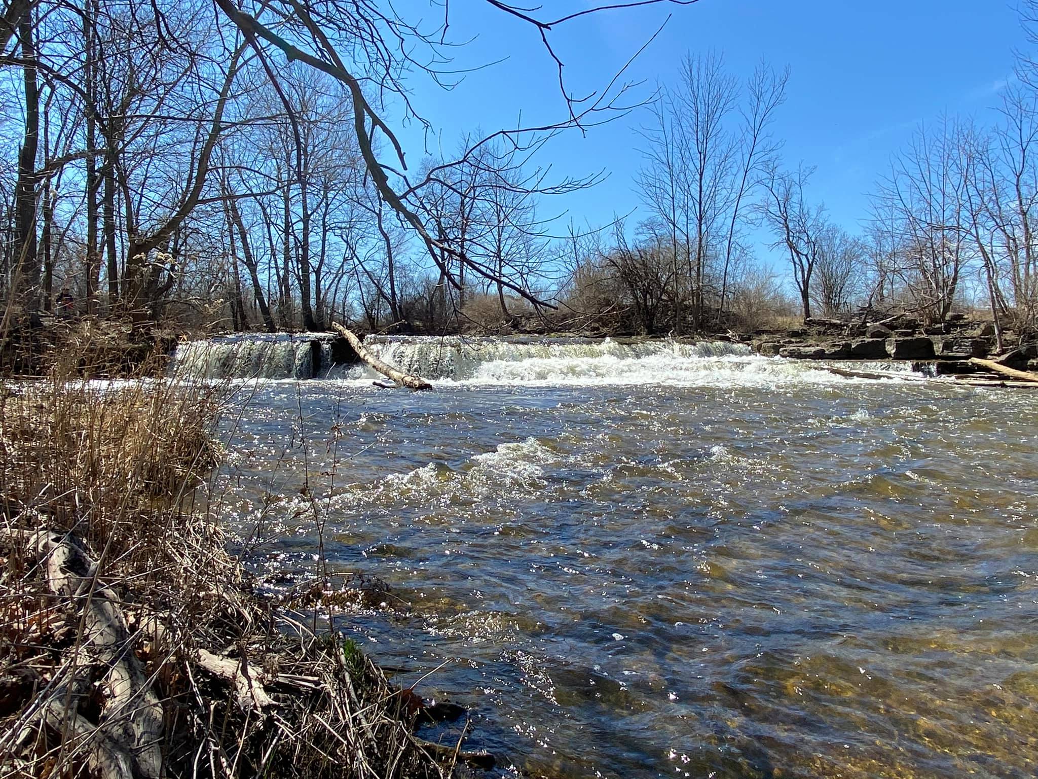
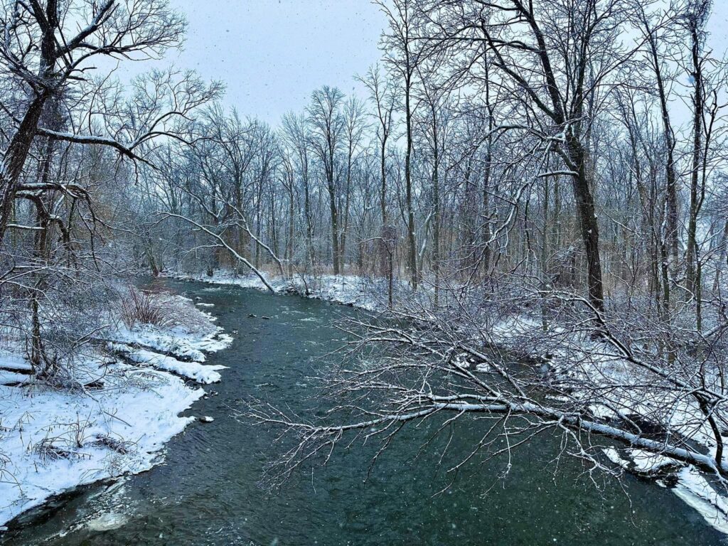
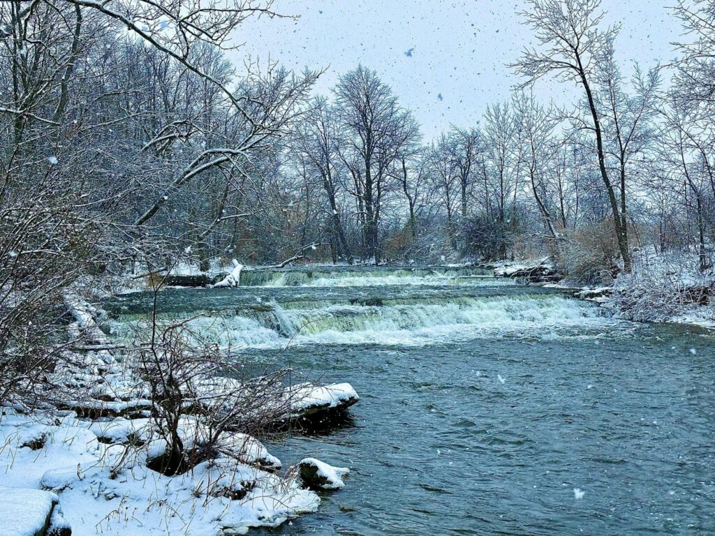
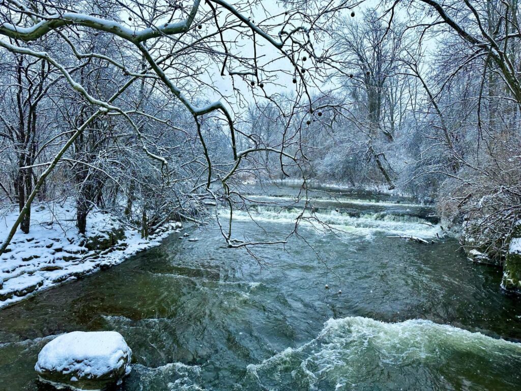
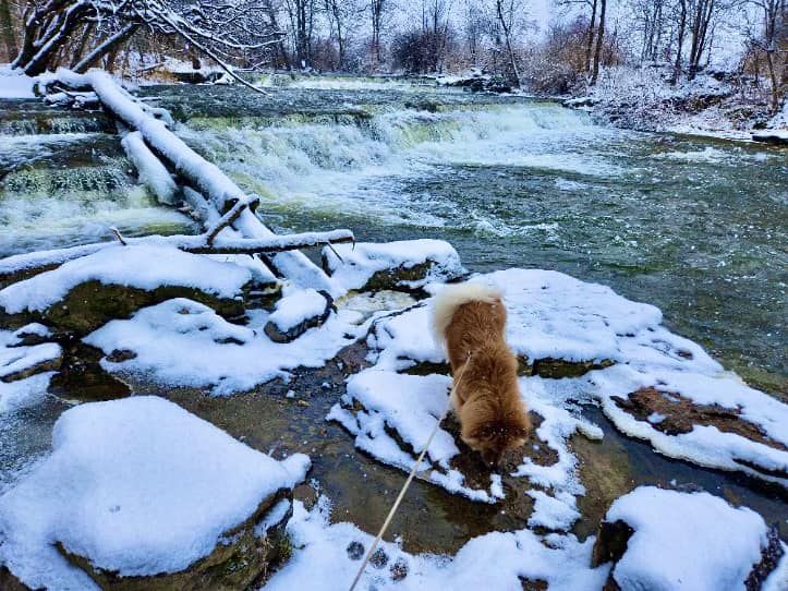
Flint Creek & Mill Falls
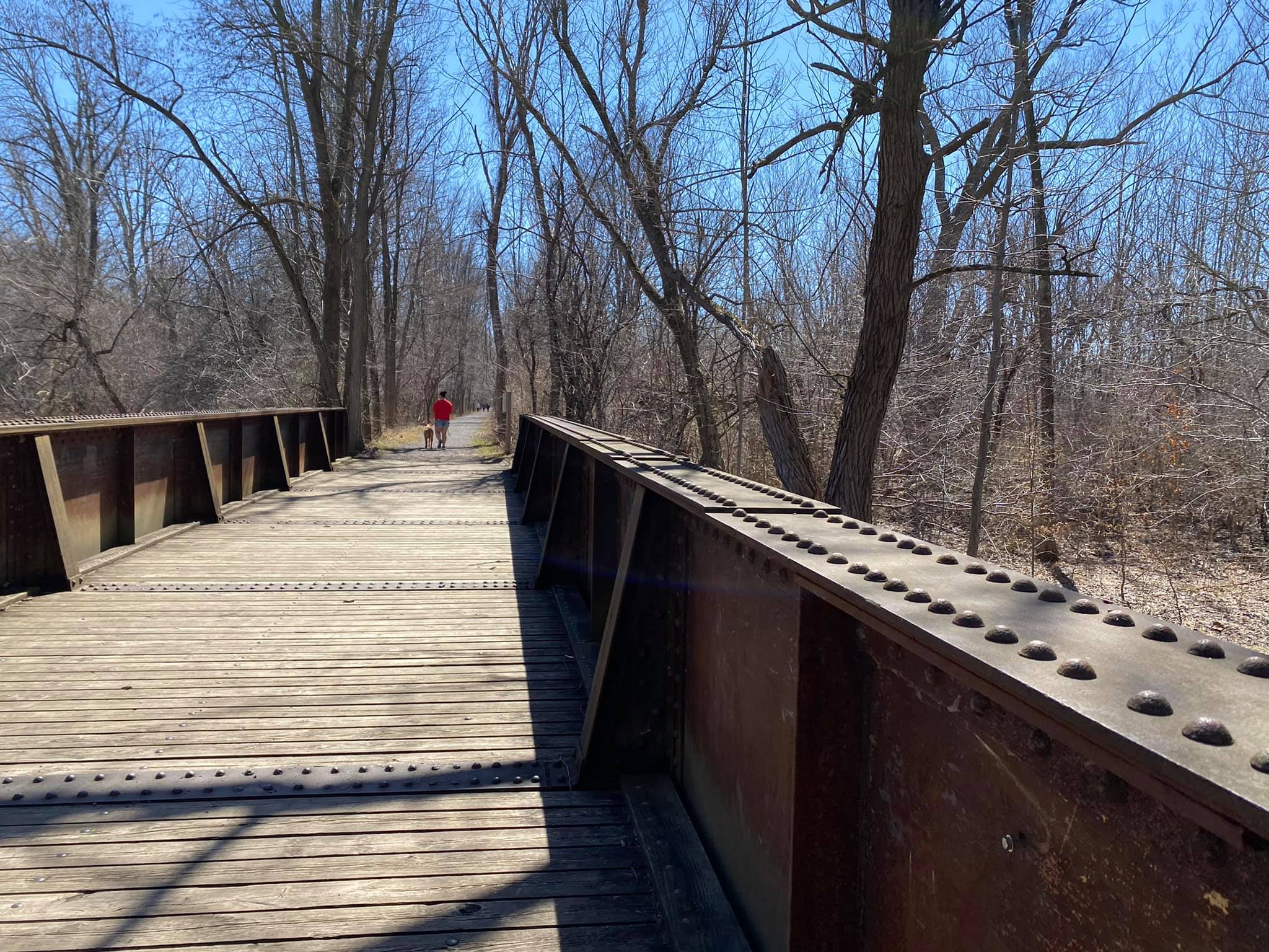
Reaching this scenic portion of the Ontario Pathways is relatively easy and judging by the foot traffic on the day we visited, is a very popular stretch of trail. Fortunately, the falls aren’t too far from the parking area and are really lovely. It was an unusually warm spring day and clearly, everyone had the same idea – let’s get out and enjoy the weather while it’s here. (New York Winters and Springs have trained us to take advantage of the sun when we get it.)
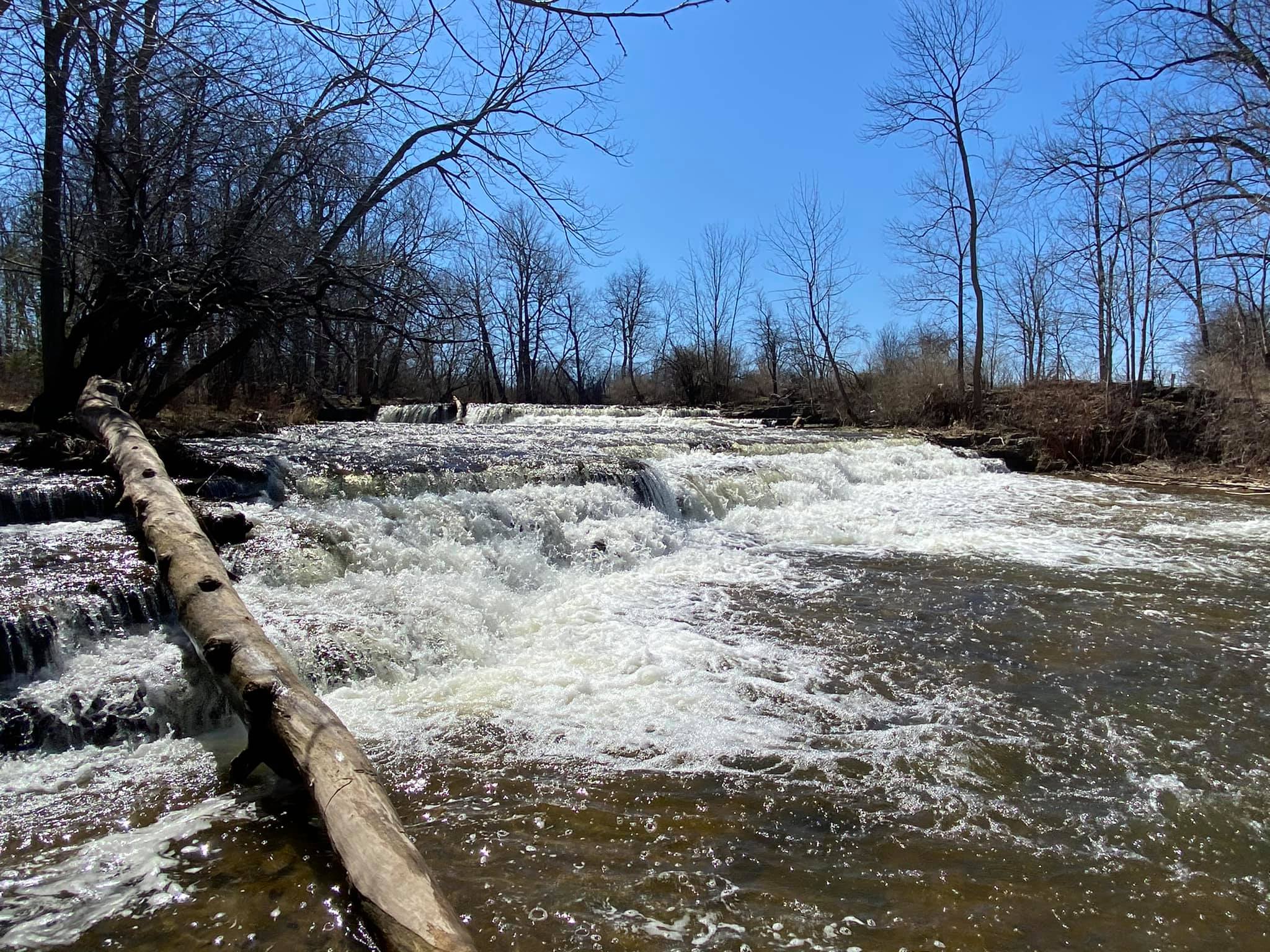
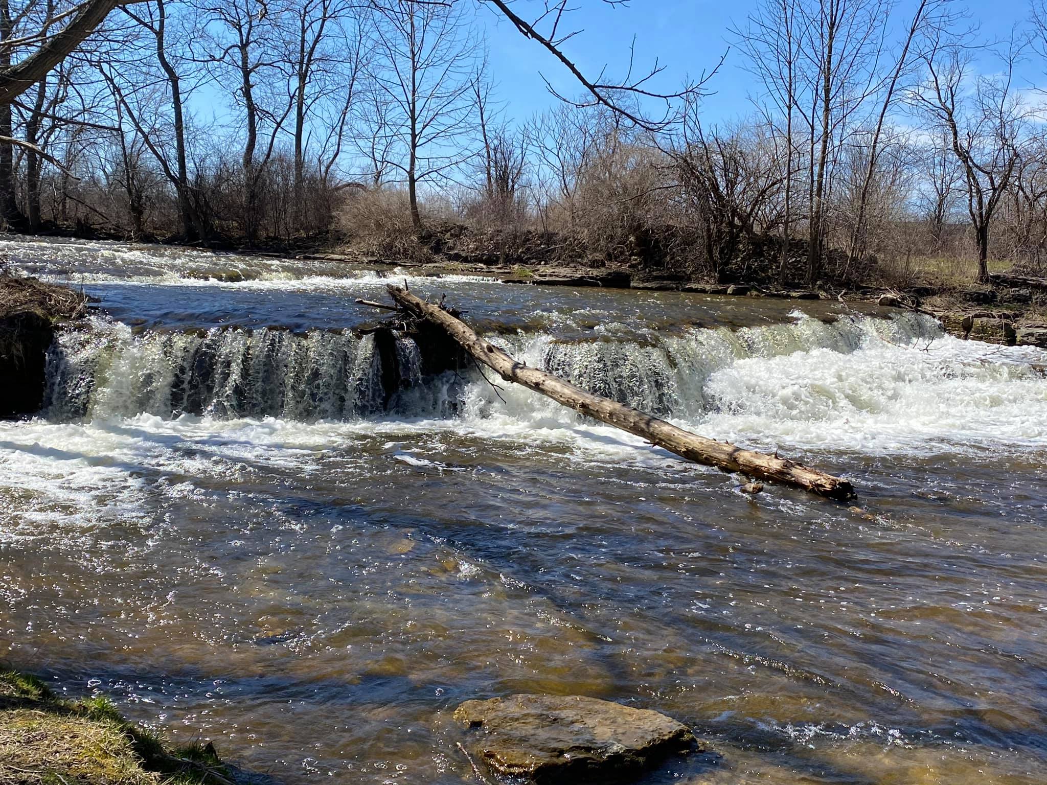
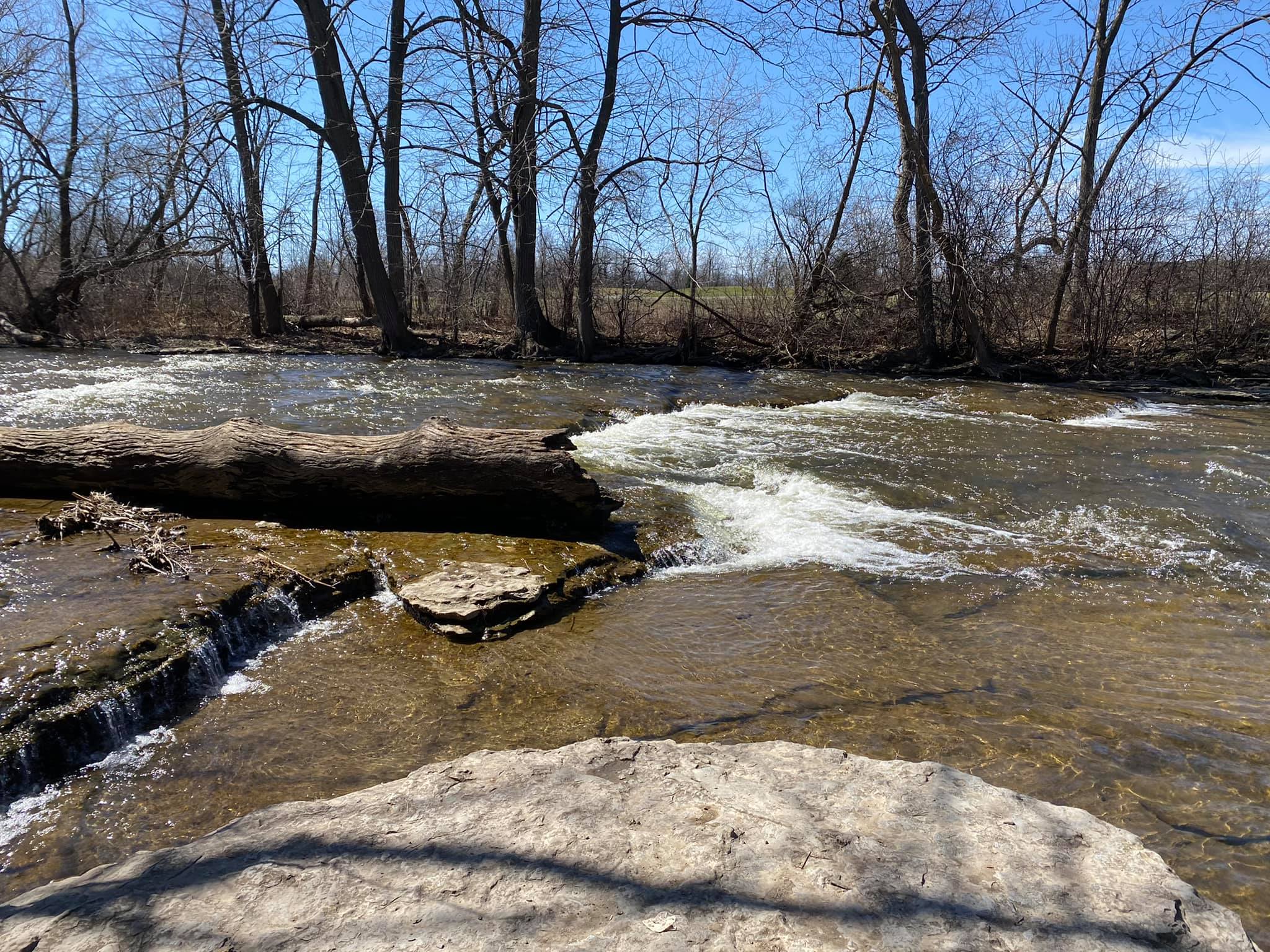
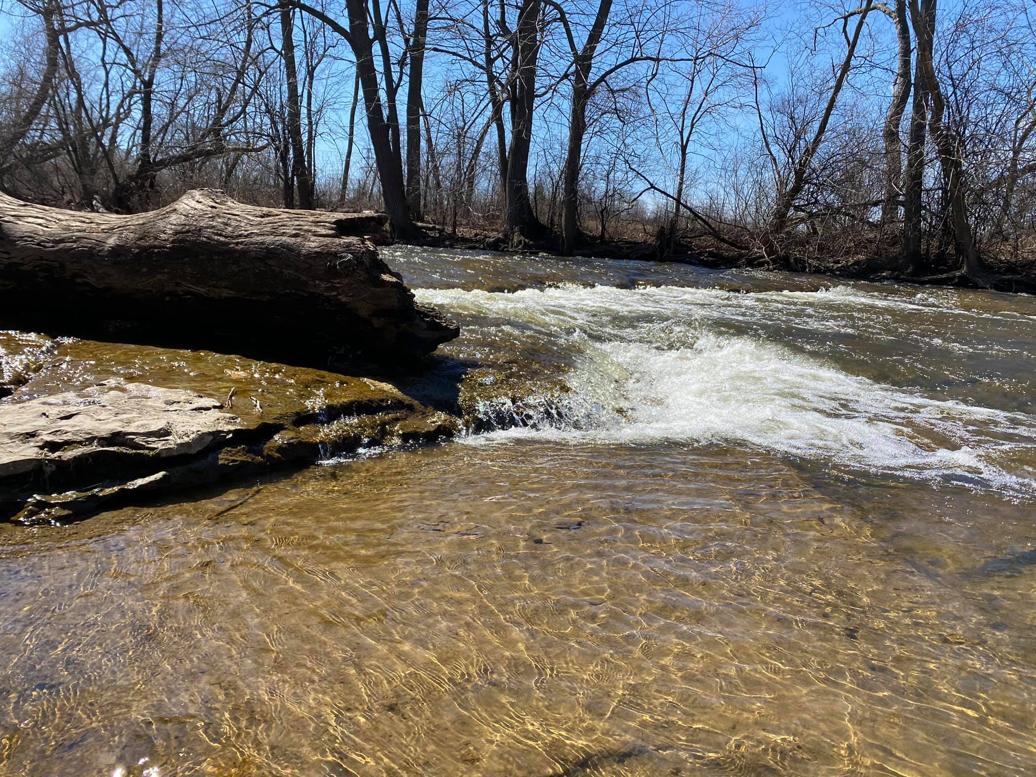
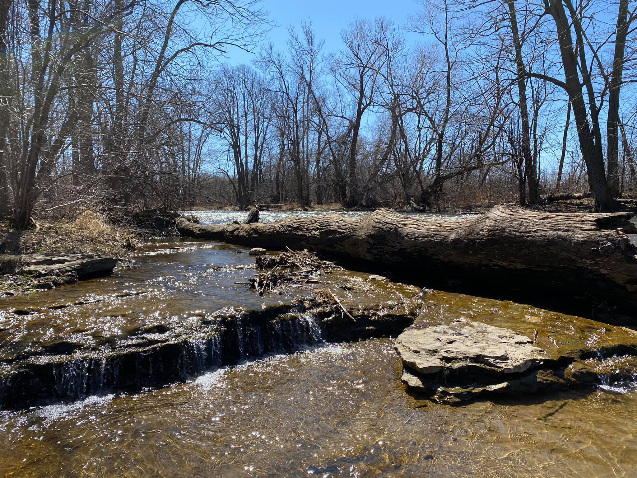
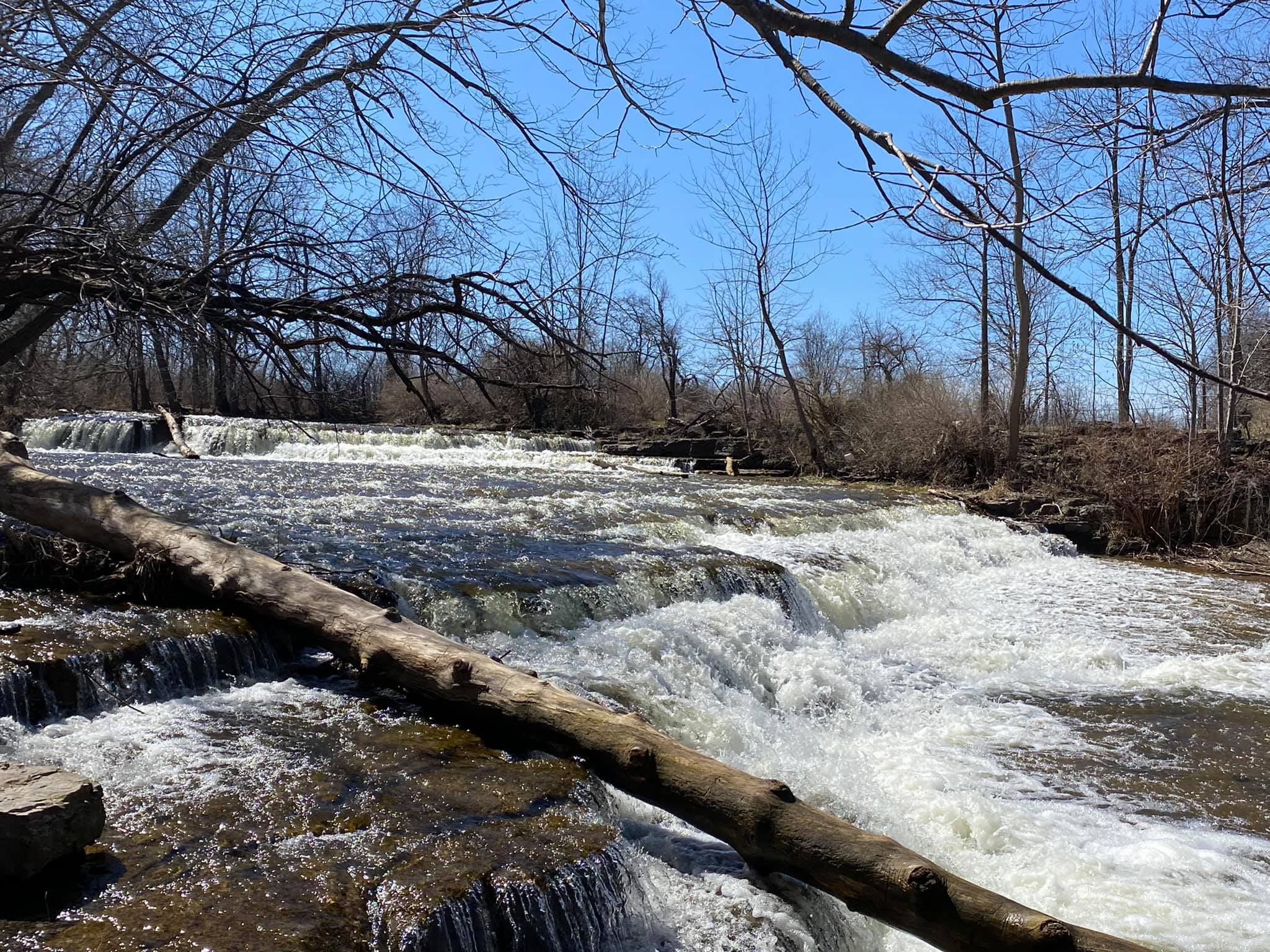
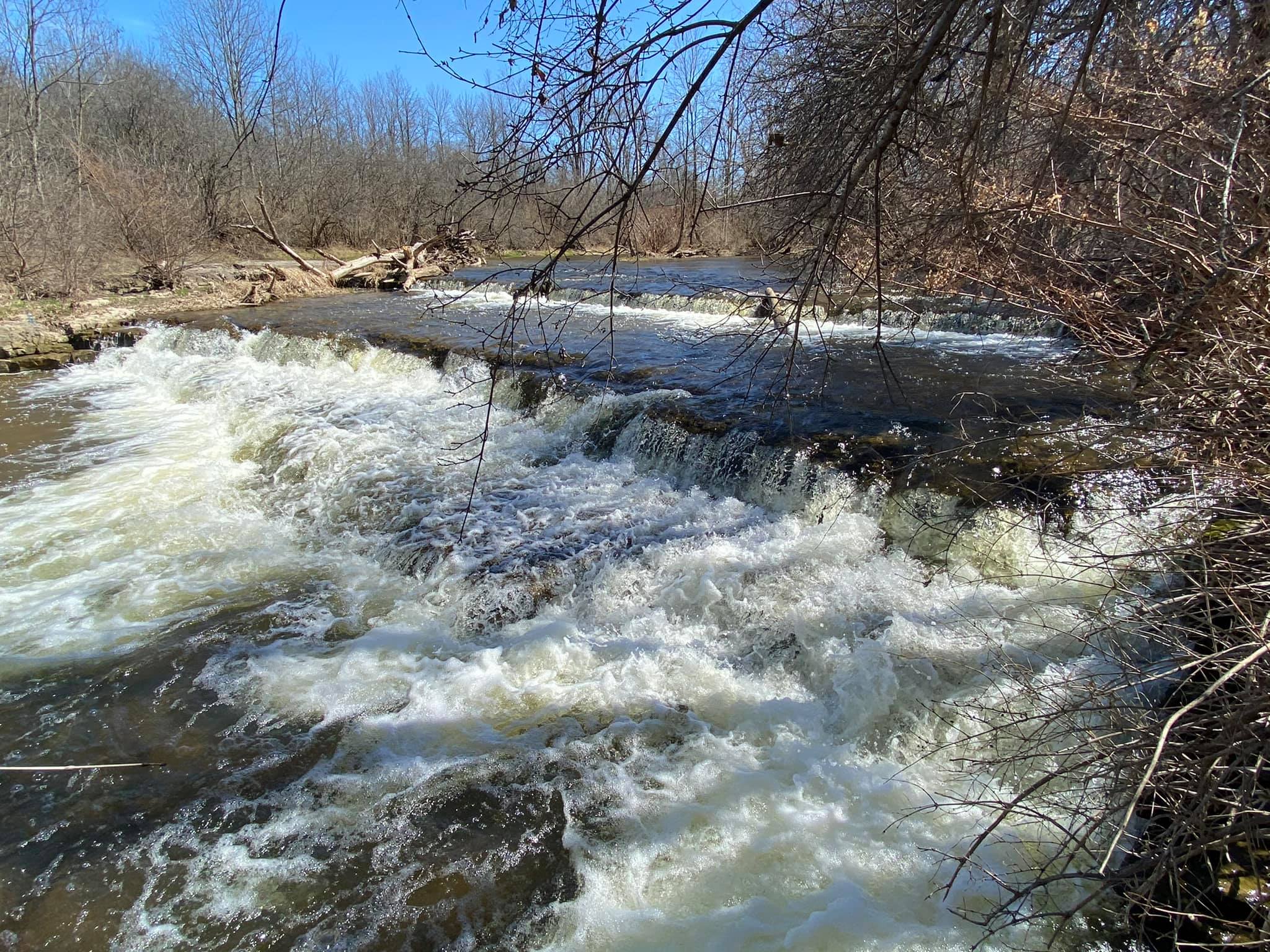
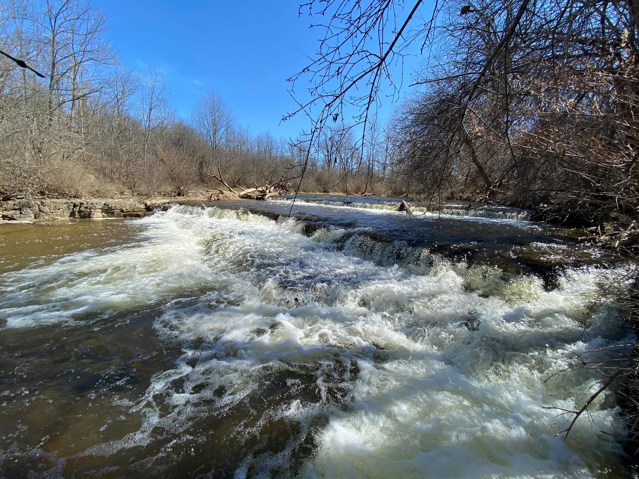
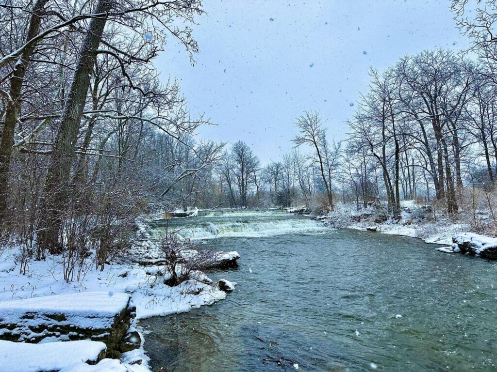
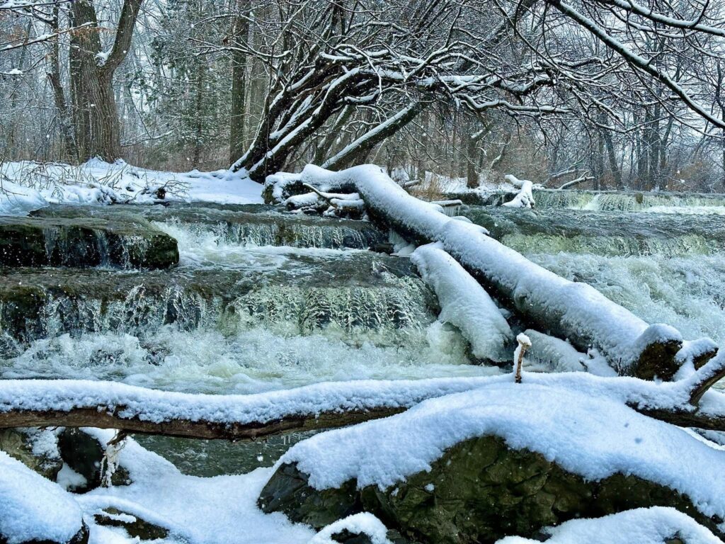
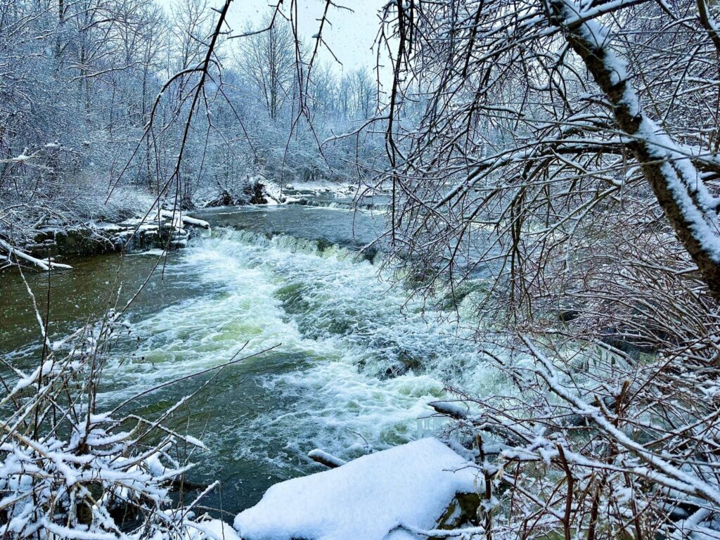
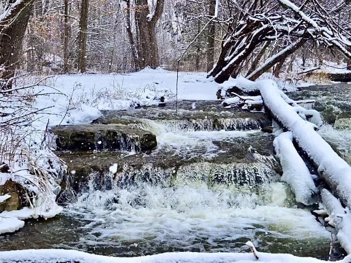
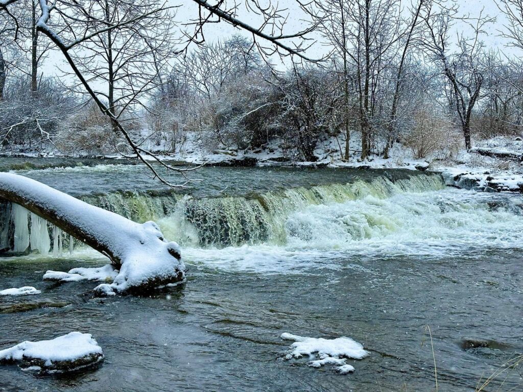
Mills Falls is not a huge waterfall, but it is breathtaking nonetheless. The falls are wide but only a few feet tall. I would call these more rapids, than a true waterfall, however, they are amazing to see especially when the water is really rolling.
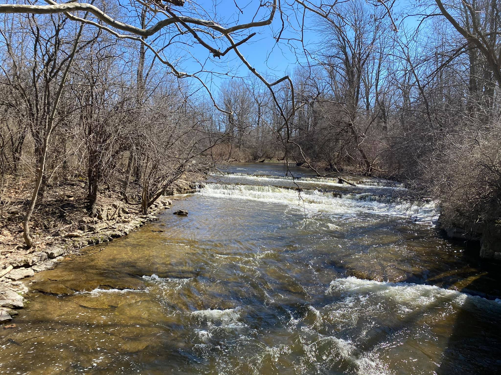
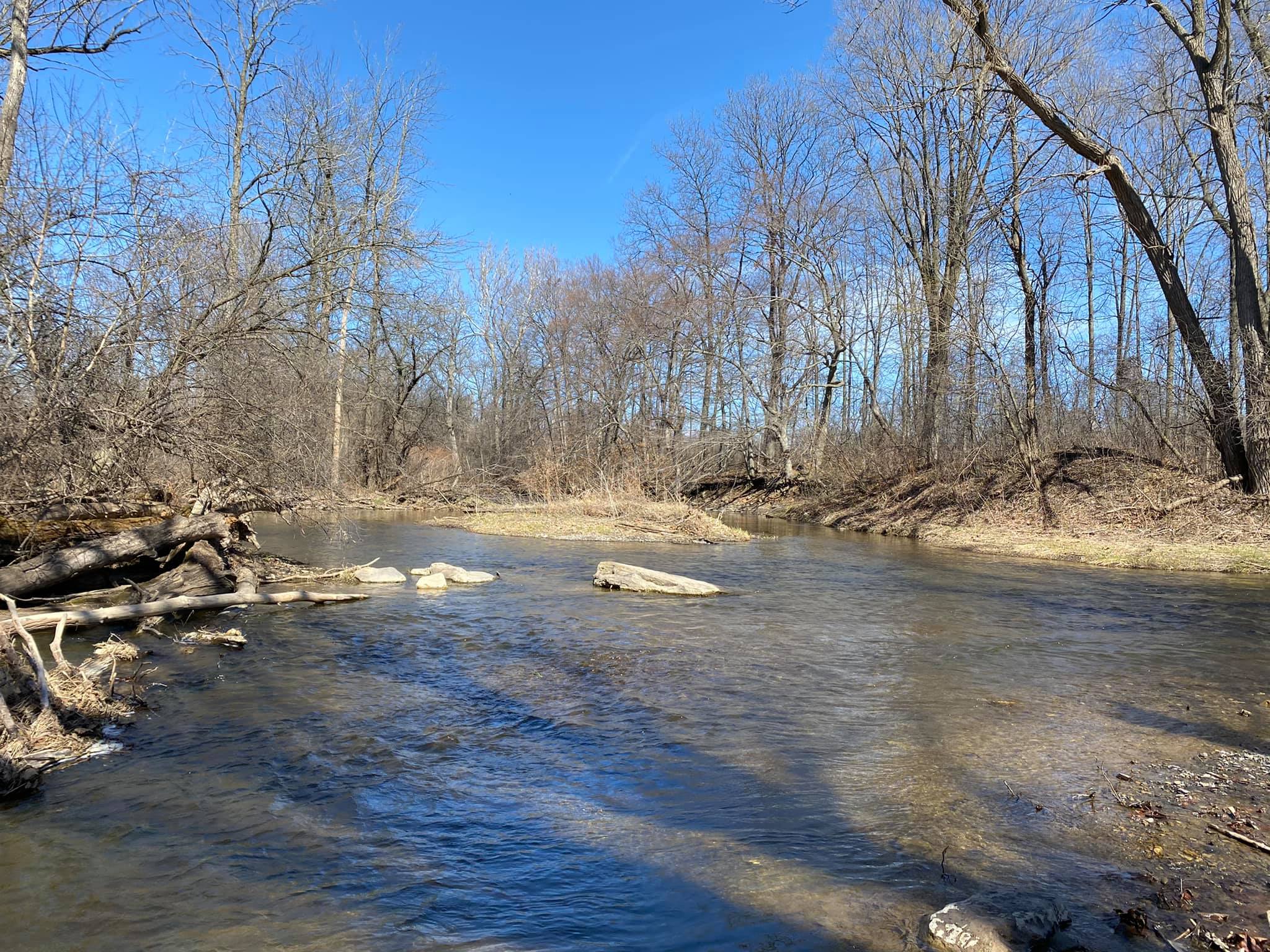
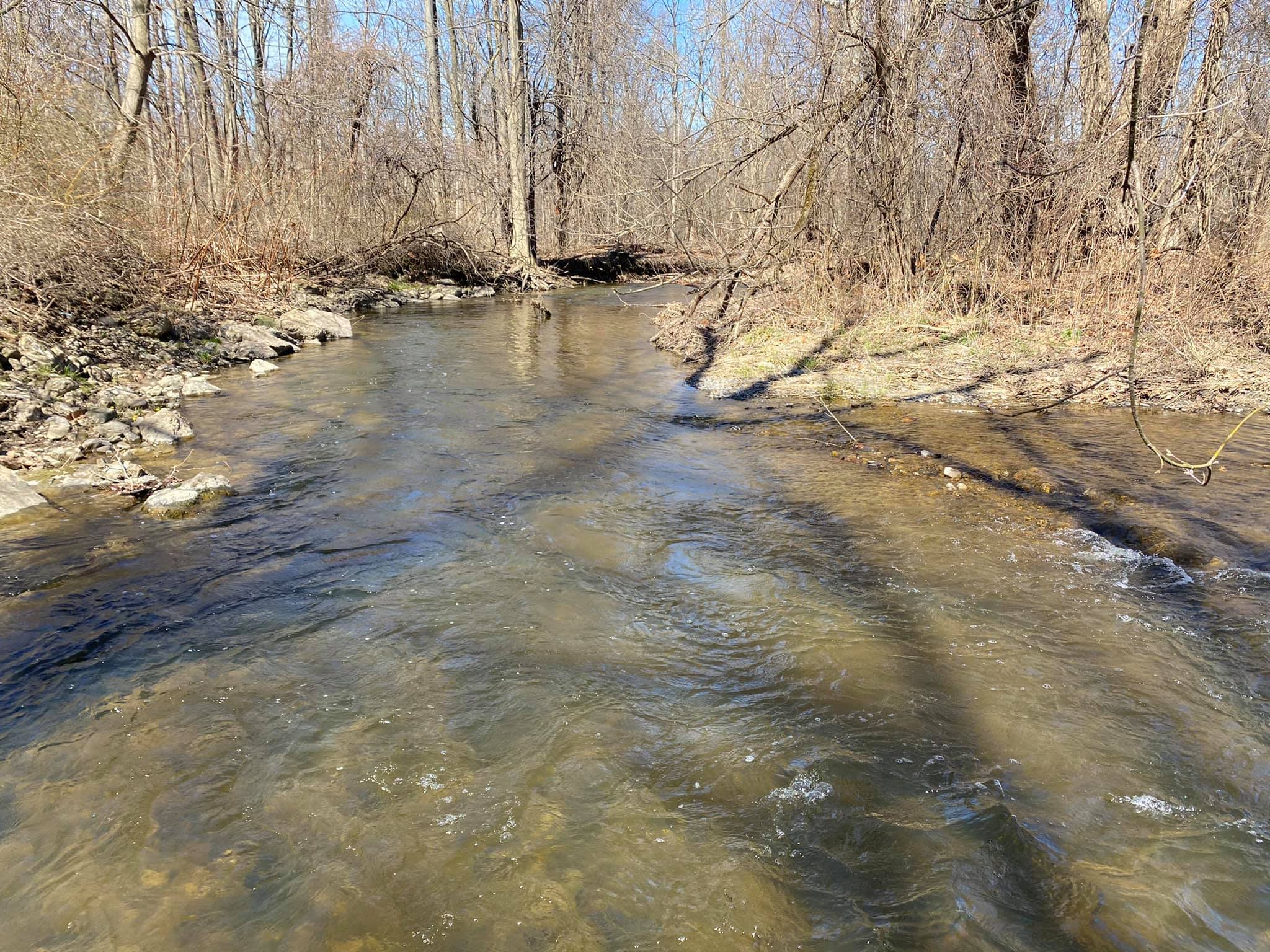
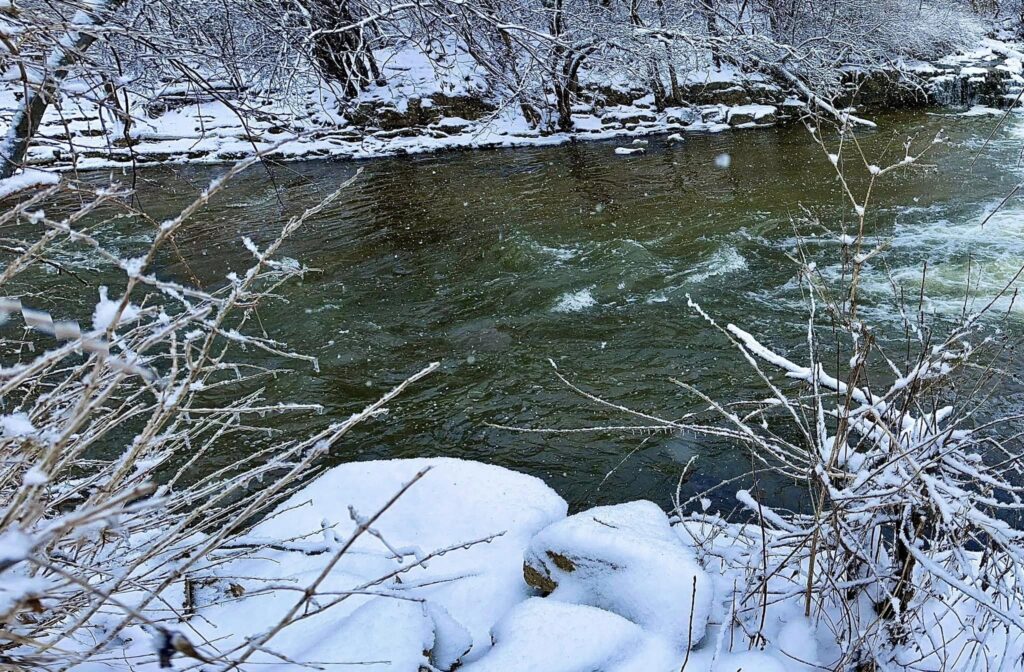
It was a usually hot Spring day when we visited. We noticed many families wading in Flint Creek. Not around the falls, but further up where the water was calm.
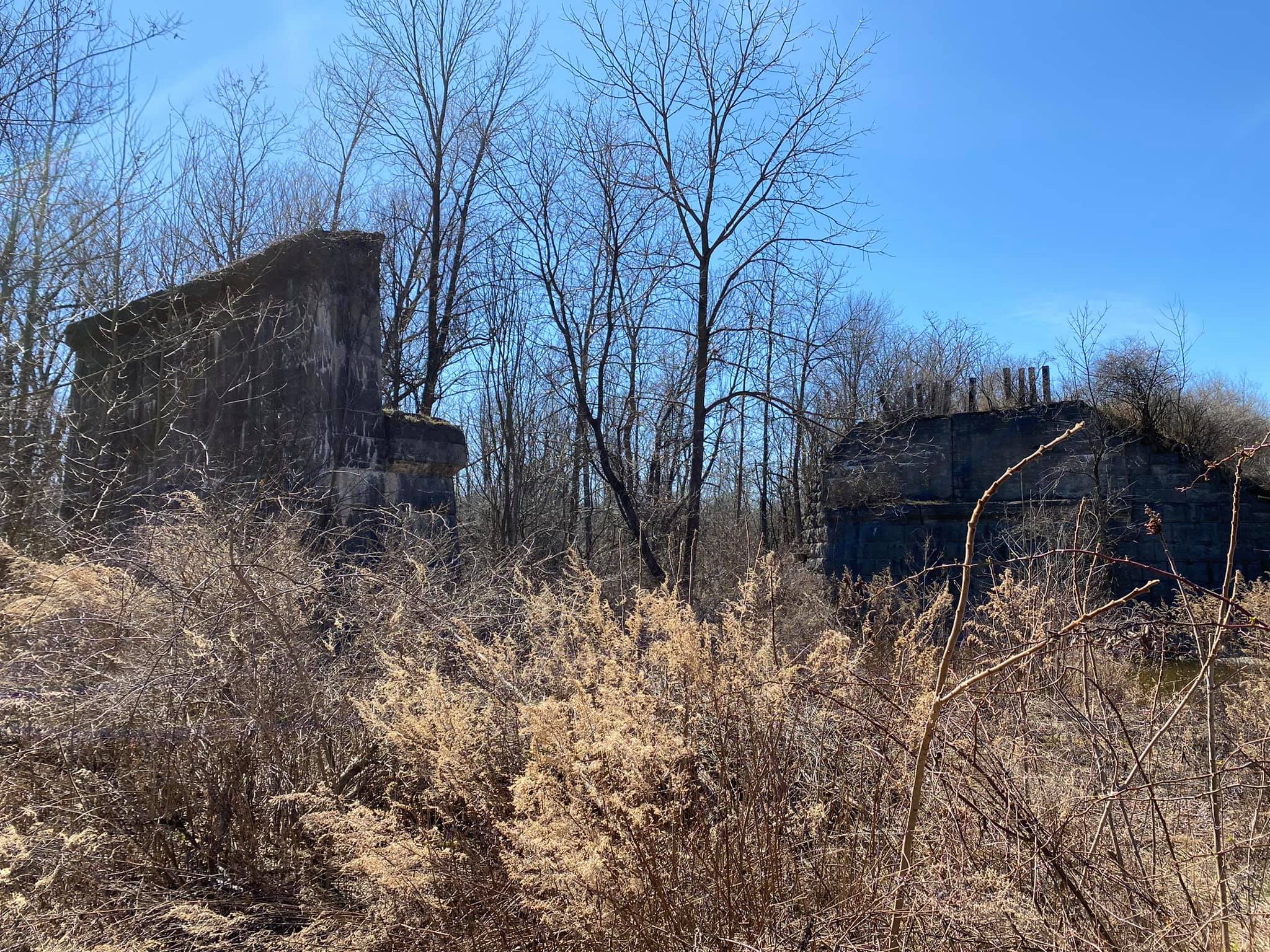
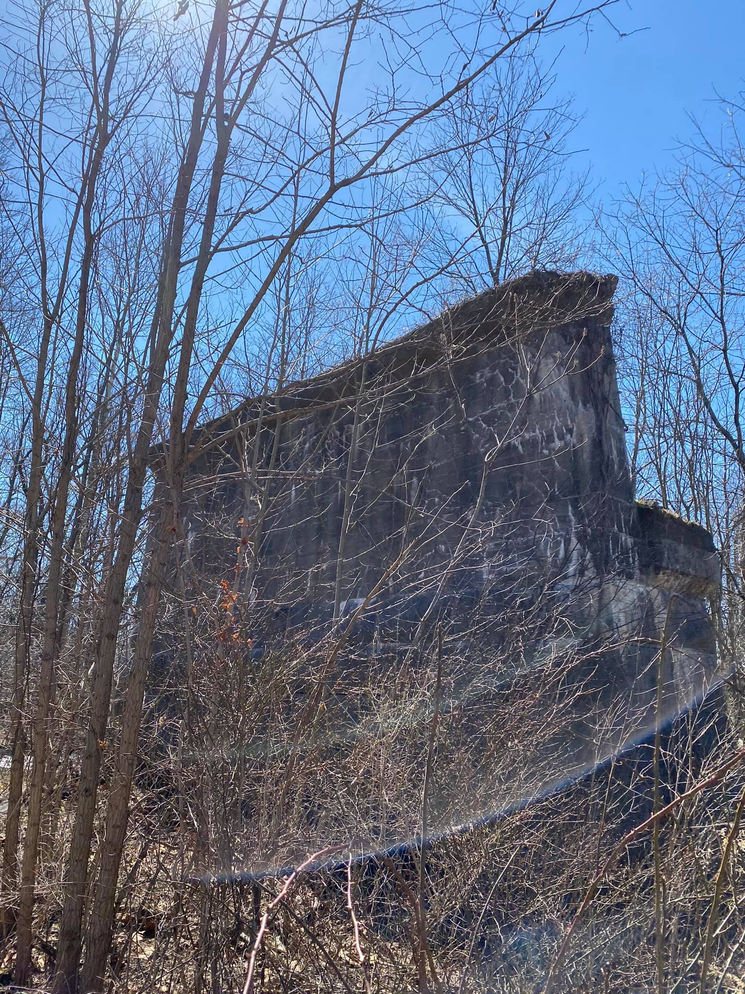
Railroad History
The Canandaigua Leg
- In 1845 a charter was granted to the Canandaigua and Corning Railroad Company to build a railroad line from Jefferson (later known as Watkins Glen) to Canandaigua.
- 1850 saw a name change to the Canandaigua & Elmira Railroad Company.
- September 15, 1851, the rail line was completed into Canandaigua. This is the Canandaigua leg of present-day Ontario Pathways.
- April 23, 1857, Canandaigua & Elmira RR was sold at foreclosure.
- May 2, 1857, it became The Elmira, Canandaigua, and Niagara Falls Railroad Company.
- February 18, 1859, sold at foreclosure it became The Elmira, Jefferson, and Canandaigua Railroad Company.
- May 1, 1866, this line was leased to the Northern Central Railroad.
- May 9, 1872, Northern Central Railroad purchases the EJ&C
The Phelps Leg
- 1852 The Sodus Point and Southern Railroad surveyed the route and was granted a charter to build. It would be 19 more years before track work was started.
- 1872 the tracks and infrastructure were in place for the trains to run from Stanley to Sodus Point.
- 1875 reorganized as The Ontario Southern Railroad Company.
- 1879 it was consolidated with the Geneva, Hornellsville, and Pine Creek Railway Company to form The Lake Ontario Southern Railway Company.
- 1882 sold at foreclosure again. Was bought by A.H. Harriman who reorganized it to become The Sodus Bay and Southern Railroad Company.
- 1884 this line was sold to The Northern Central Railroad
Shared history after the two combined into one:
- 1884 both rail beds were part of The Northern Central Railroad
- 1913 The Northern Central Railroad is incorporated into The Pennsylvania Railroad system, becoming the Elmira Branch of the Pennsylvania Railroad.
- 1968 Pennsylvania Railroad merges with The New York Central Railroad forming Penn Central
- 1970 Penn Central files for bankruptcy
- 1974 Penn Central’s abandonment of the lines results in the removal of tracks and rails.
- 1994 Newly formed Ontario Pathways negotiates the purchase of the unsold railroad right of way.
[compiled May 2016 by Tim Wilbur; updated January 2019] Information from the Ontario Trailsways Website.
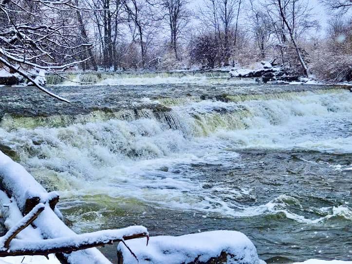
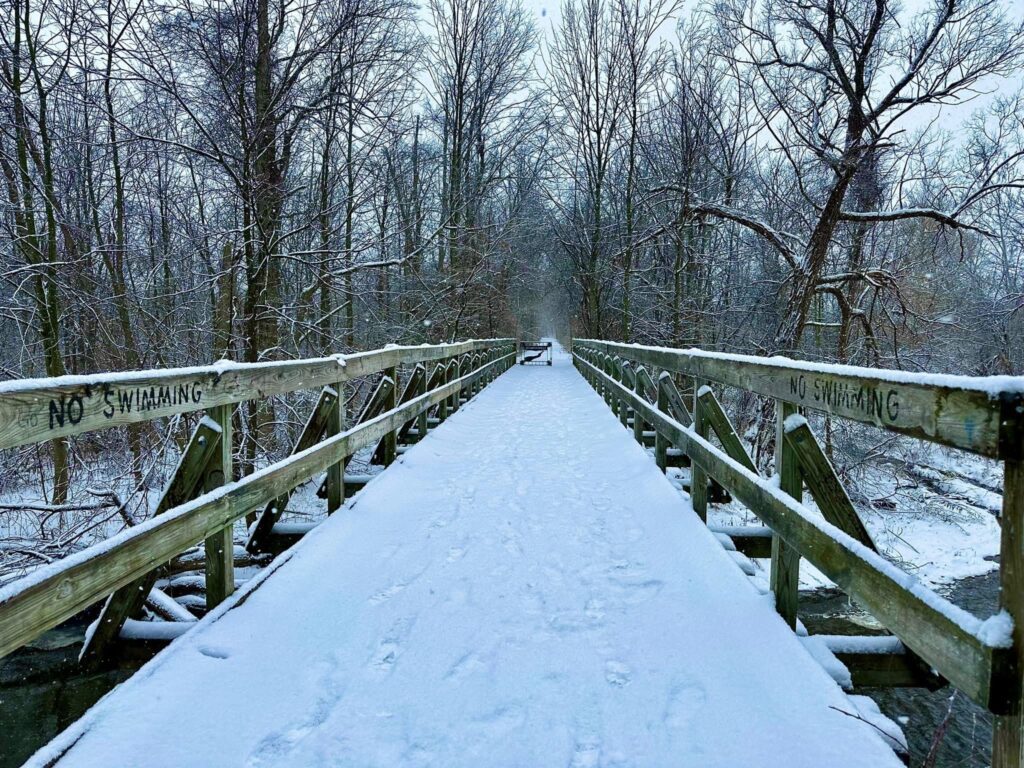
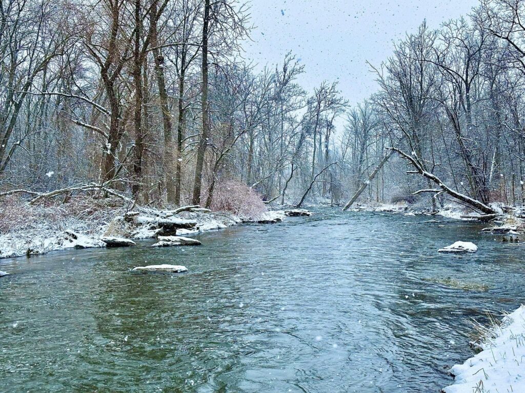
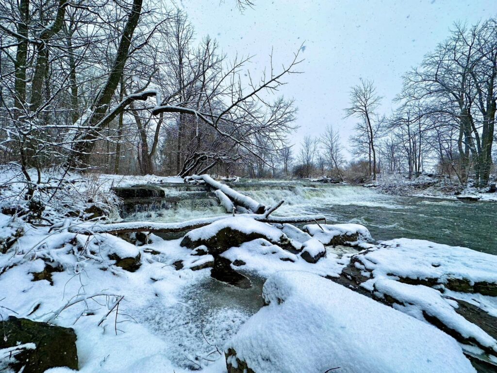
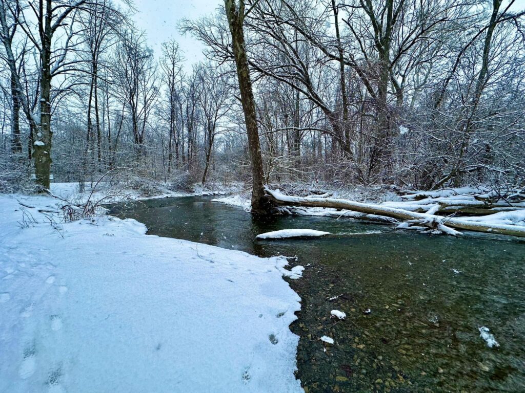
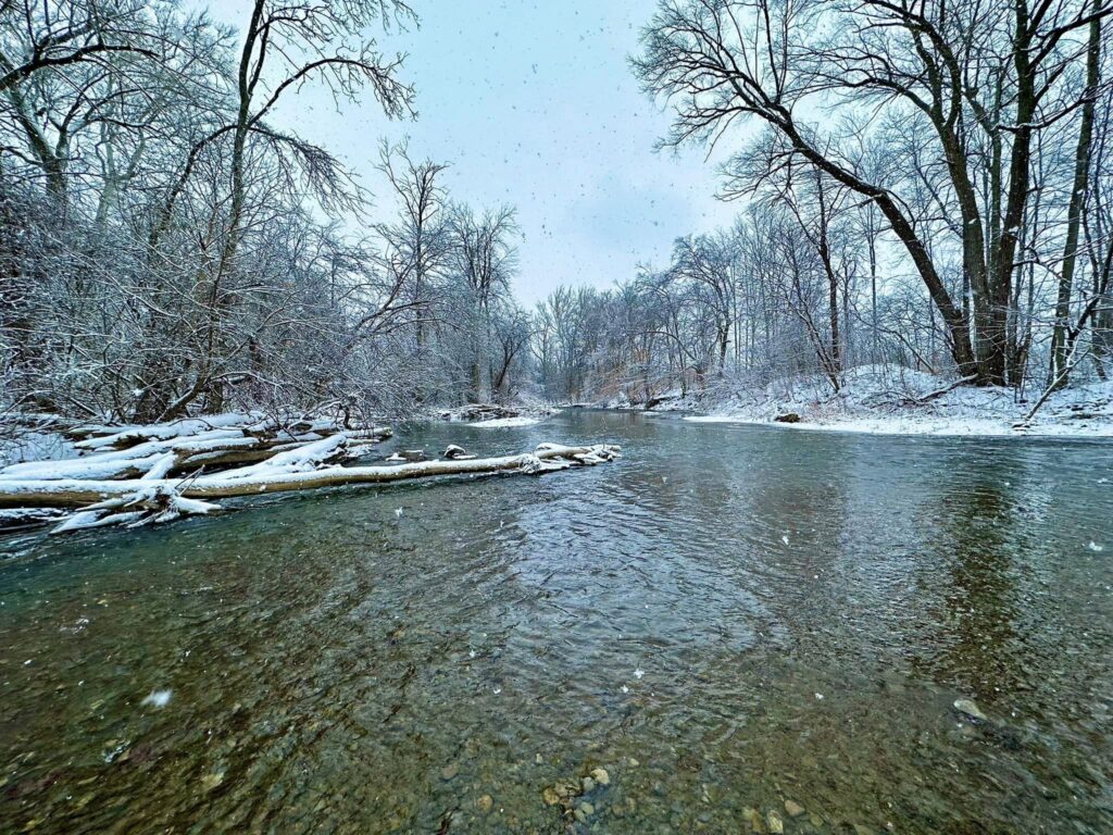
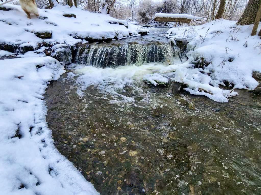
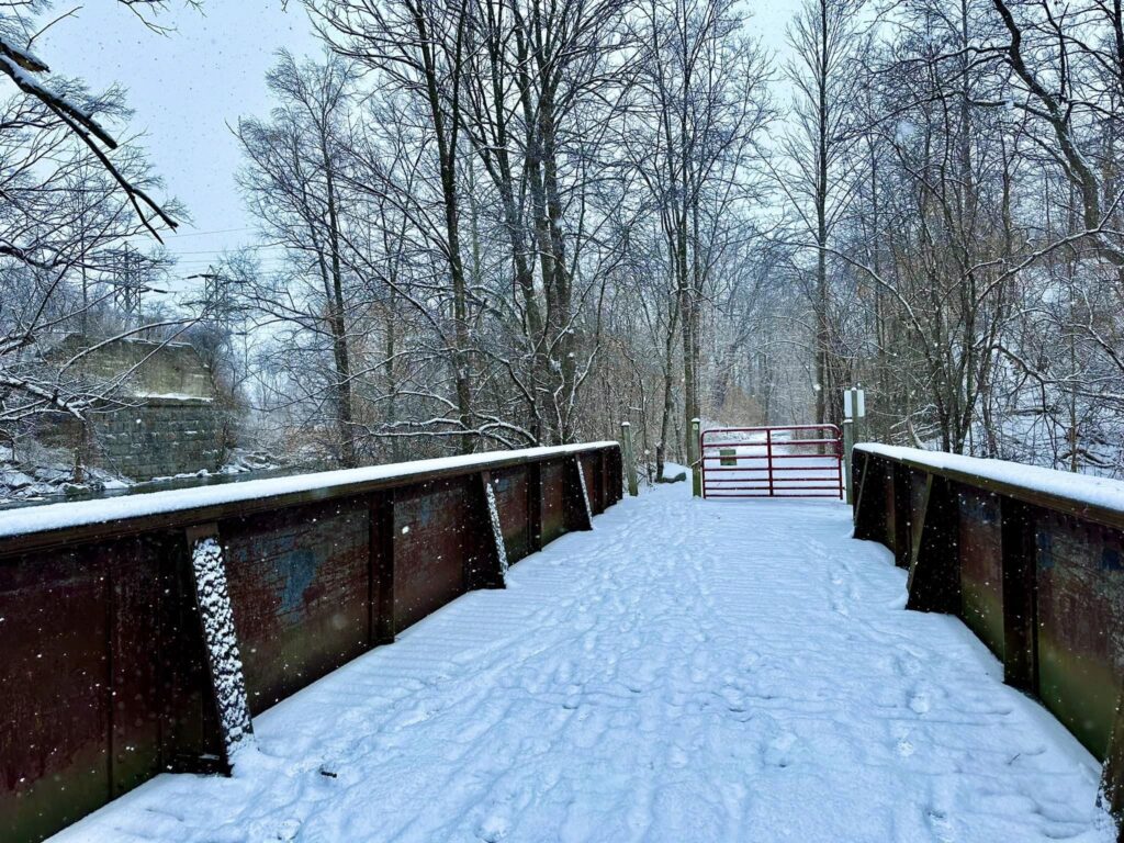
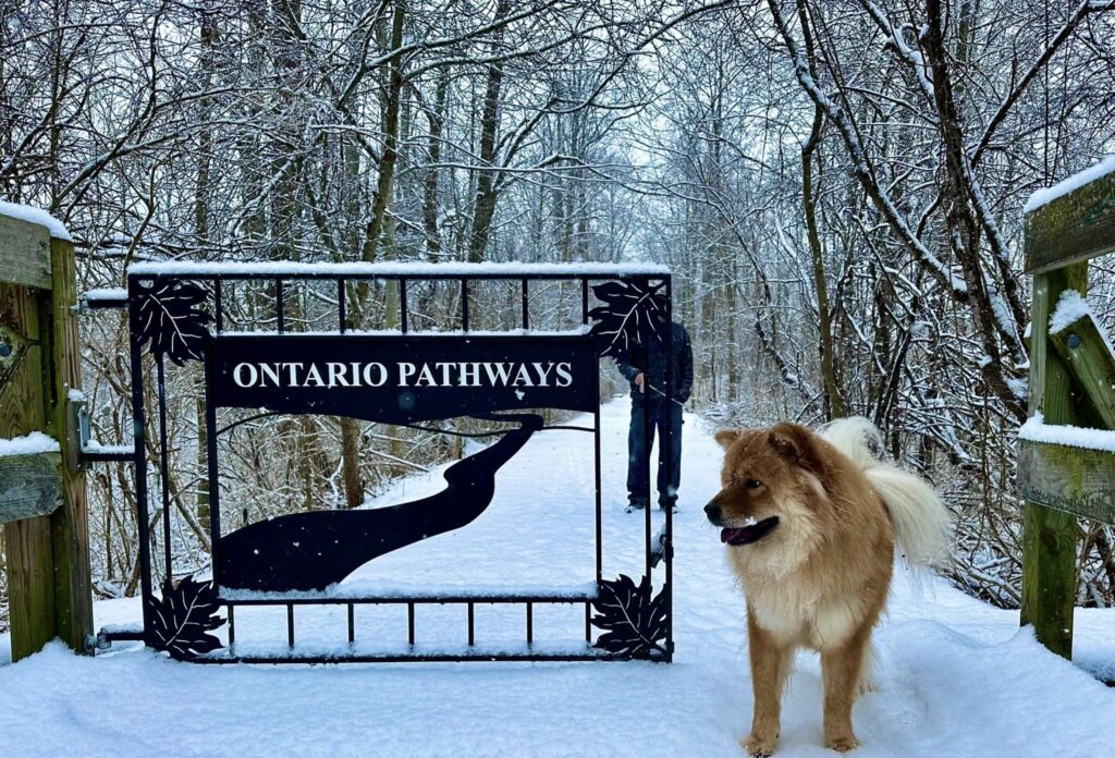
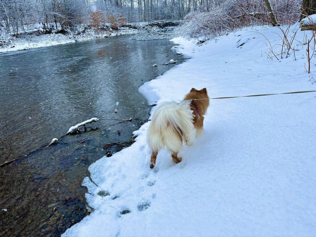
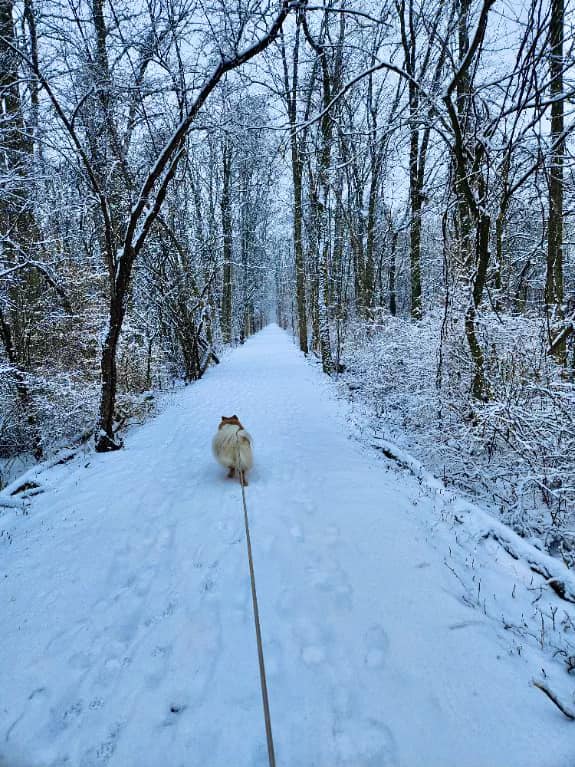
Winter at Ontario Pathways
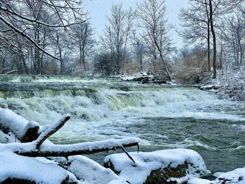
We visited on a nice, snowy day and we discovered that this rail to the trail is a fantastic place to visit in winter. The falls look incredible surrounded by ice and snow. Added bonus: like most places in the winter, we had the place entirely to ourselves. We were able to take a nice walk while enjoying the lovely wintertime beauty in peaceful silence.

Trails
This trail system is multi-use; hiking, running, bicycling, and horseback riding. Also, the trail system is a great destination for visitors who are participating in letterboxing and geo-cashing and birdwatching.
MAIN RAIL-BED TRAIL
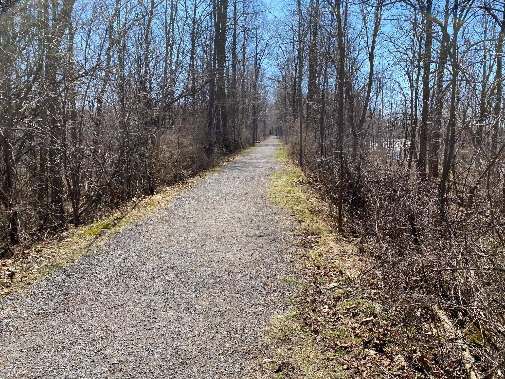
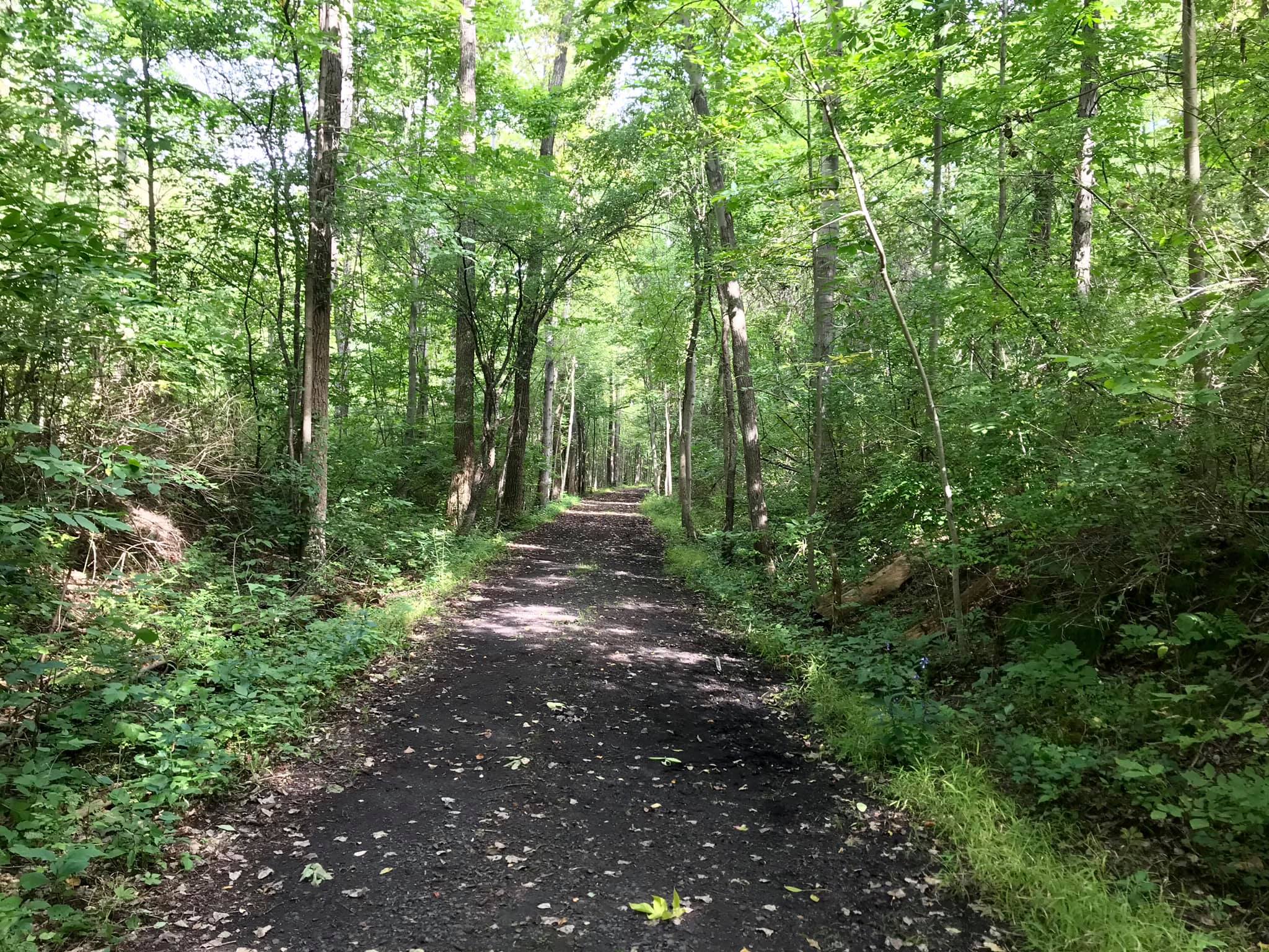
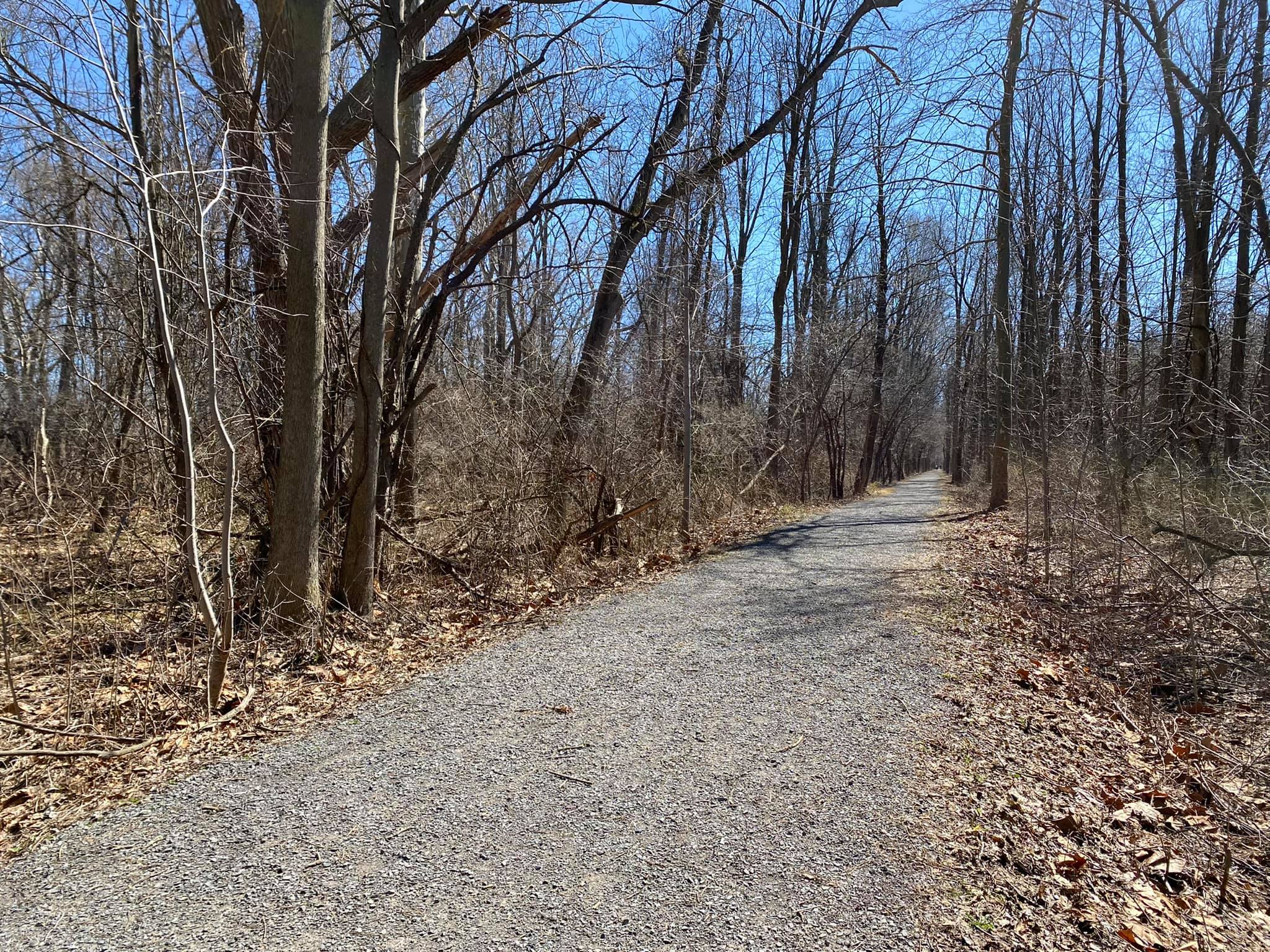
The 23.3-mile main trail is on an abandoned rail bed of cinder, stone, and grass. The railbed main trail is rated EASY. The rail bed is marked with mileage posts at half-mile increments.
There are two bypass areas not on the rail bed:
- Just east of milepost 3.5 the trail turns off the rail bed for a quarter mile using private land, re-entering the rail bed at Freshour Road.
- From County Road 23 in Orleans, there is a road walk for nine-tenths of a mile north on State Route 488 where it re-enters the rail bed through an open field.

LOOP TRAILS
Additional three hiking-only loop trails: All loop trails are rated EASY to MODERATE. The loop trails are marked with white blazes.
- The one-mile Flint Creek Loop Trail. Located in our Wheat Road section, this loop trail leads away from the rail bed taking you along Flint Creek. There are five access points in this section to enter this loop trail.
- The three-tenths of a mile Train Wreck Loop Trail. This is the site of the 1964 train derailment south of Orleans. Just over a half mile south of the Orleans County Road 23 trailhead is a plaque on a boulder noting the collision site. This loop trail starts with a descent off the rail bed to a loop along the basin next to Flint Creek.
- The four-tenths of a mile Hemlock Grove Loop Trail. This is named for the grove of Hemlock trees in the location. The trail directs you off the rail bed descending towards Beaver Dam Creek and the big culvert under our rail bed. Then it follows Beaver Dam Creek to where it joins Flint Creek.
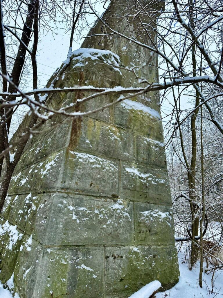
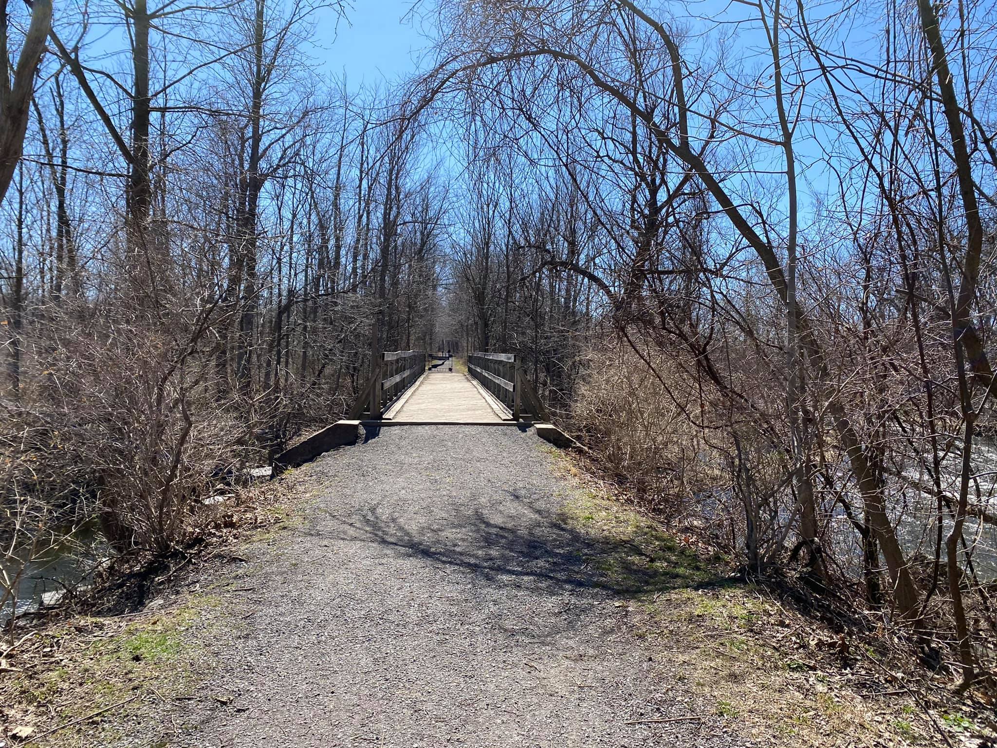
- Mill Falls Side Trail. Located in Orleans just past the Waddell Bridge in the old rail bed, this is a short walk to the edge of Flint Creek where there once was a mill on the other side of the creek. There is a small waterfall here.
The BOCES parking lot/access trail is just to the south of the main BOCES campus on County Road 20 marked with the classic green and white hikers sign at the entrance of this lot.
PARKING
Please don’t block the access gates! Best parking locations (marked with a “P” on the Trail Map)
The Ontario Trails are all Dog-Friendly. Please remember to pick up your pet and dispose of them properly.
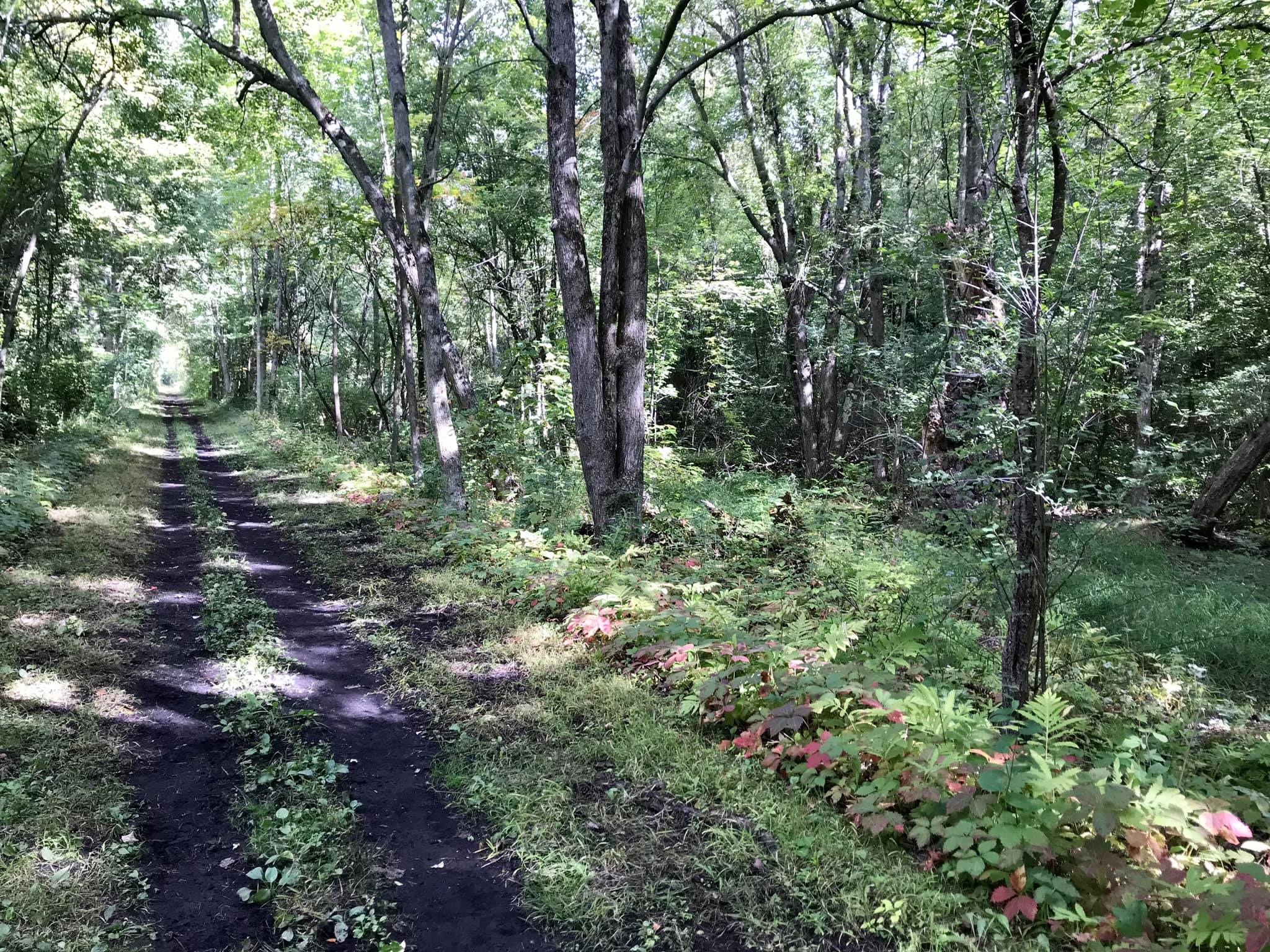
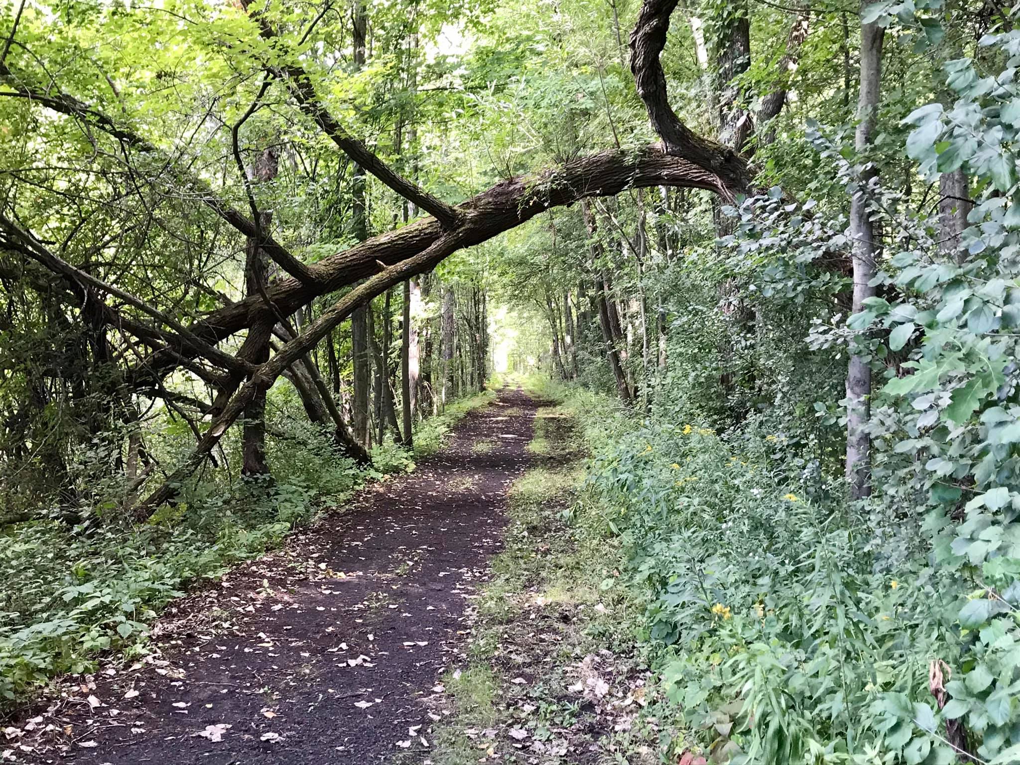
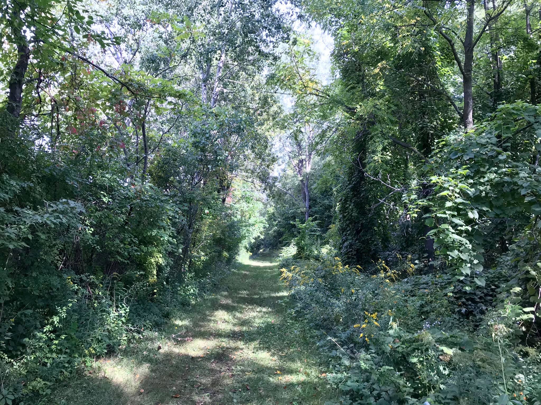
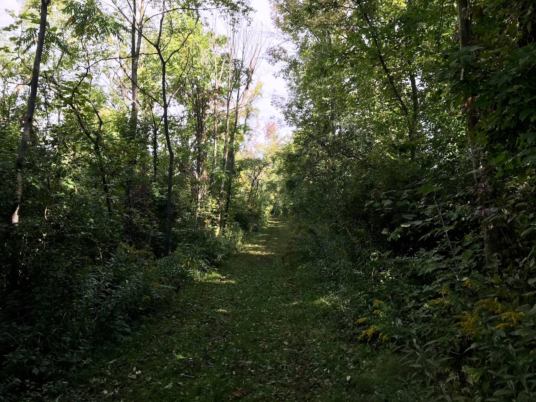
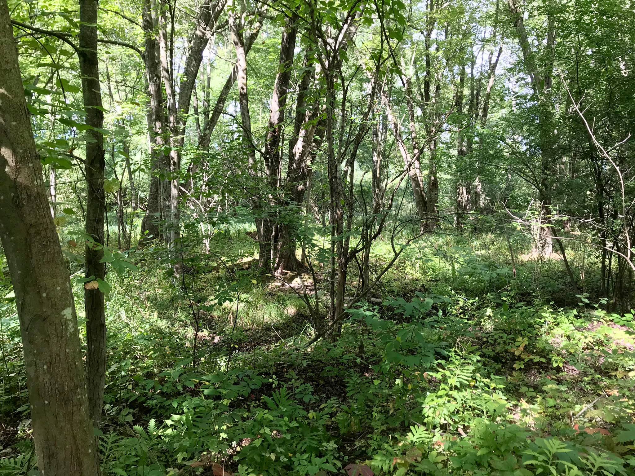
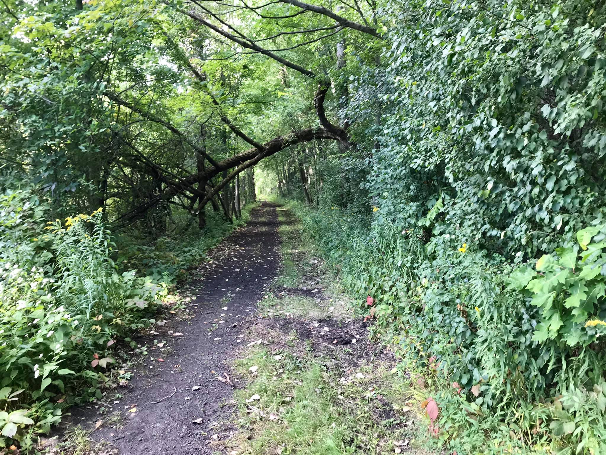
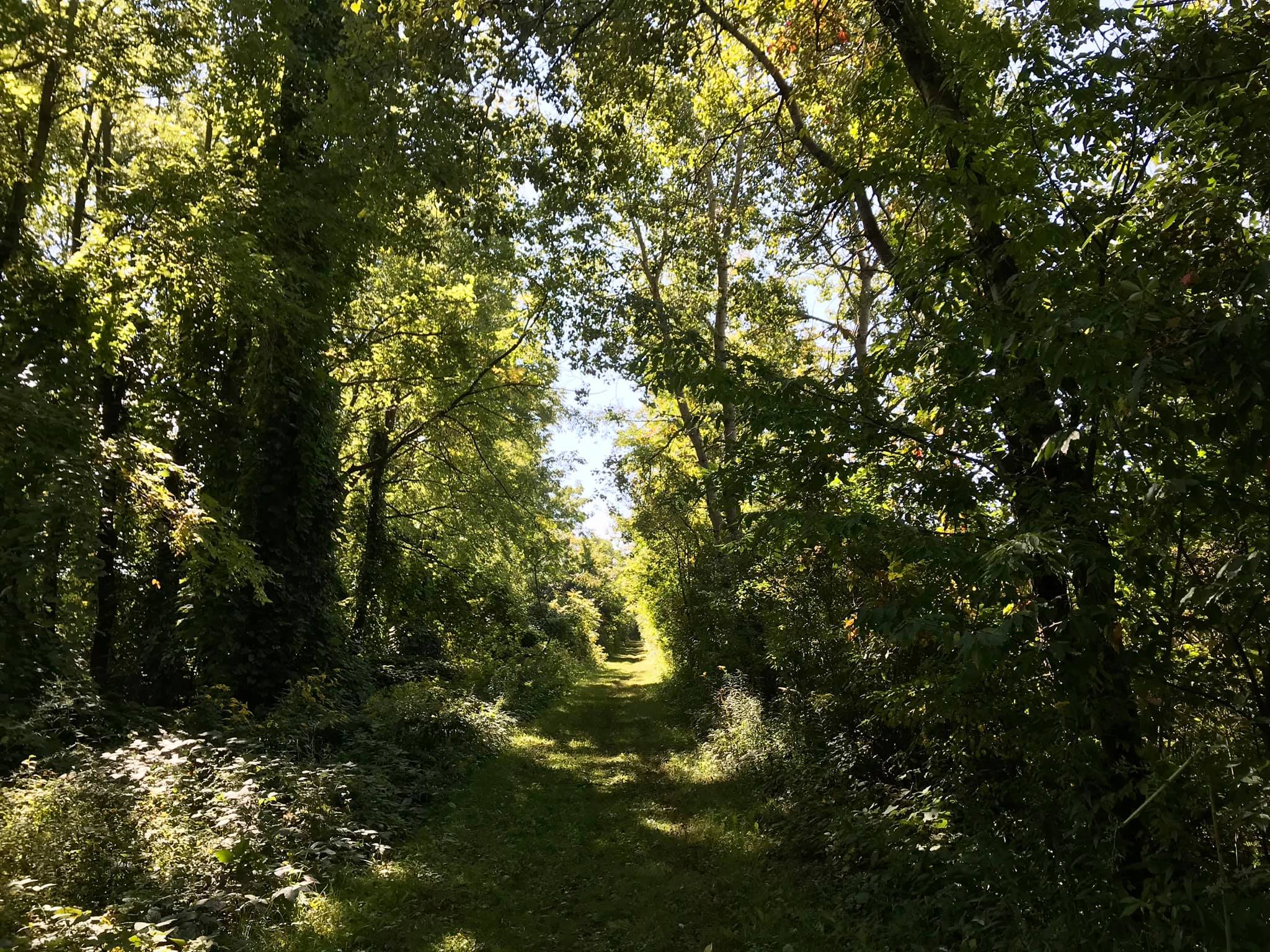
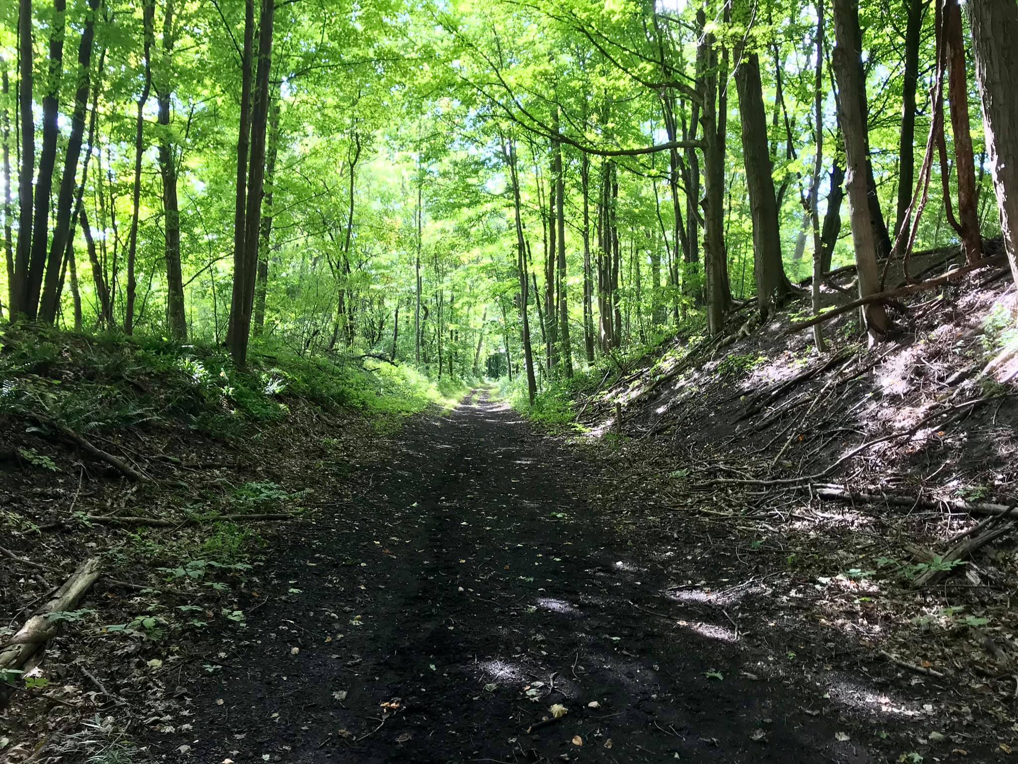
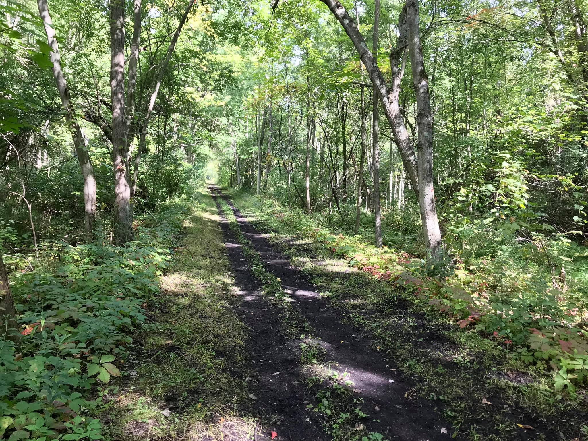
Noteworthy: There is a short little section of the trail that is separate from the other trails near Newark on Gifford Rd. We really loved this one because of the way the trees created a hollow. It was absolutely gorgeous here. We plan to return in the fall when the leaves are turning because it will make this trail completely stunning.
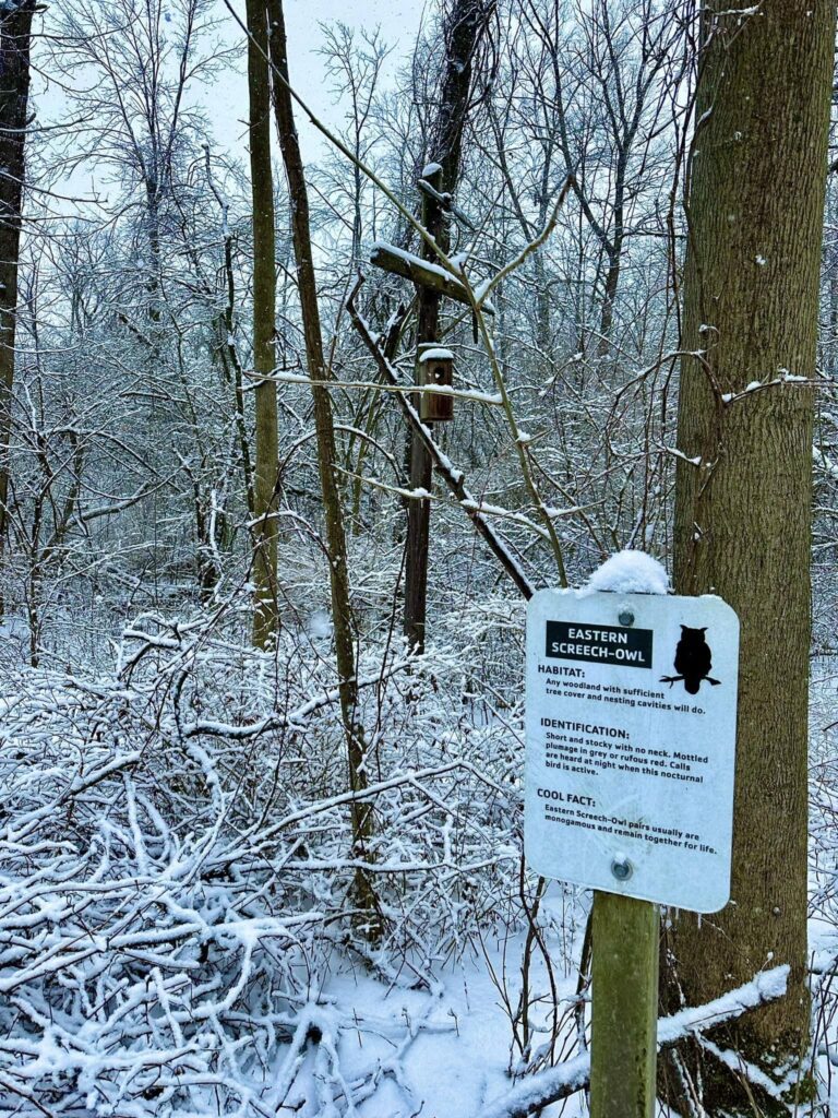
Nature Placards
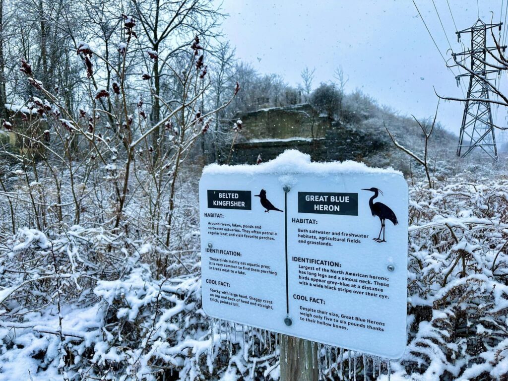
As you walk along the trails, you will notice placards describing the types of wildlife that you might possibly encounter along the Ontario Pathways.
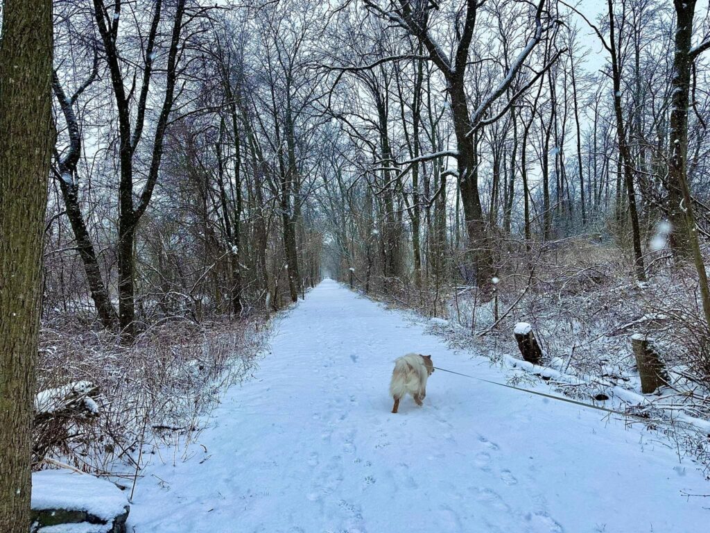
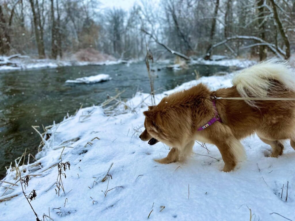
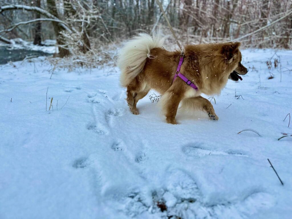
Out and About With Nova
The Ontario Pathways is a very dog-friendly destination. The Phelps Stretch of the trail (with the waterfalls) is very popular and you will need to be sure to have good control of your dog, they should be able to walk around people and other animals to walk this area. The other sections of the trail receive fewer visitors if you are looking for a less populated walk with your dog.
Again, please be respectful of other visitors and clean up after your dog.

Getting to the Ontario Pathways
Canandaigua Leg (west to east)
- Trailhead on Ontario St. (across from the Moose club) Plowed in the winter.
- Ontario County Fairgrounds, County Road 10. Plowed in the winter.
- New Covenant Baptist Church, County Road 46. Plowed in the winter.
- Freshour Rd, across from Coryn’s Farm Supply. Plowed in the winter.
- County Road 47, park on the east side of the road
- Depot Road, pull in off the gravel circle. Plowed in the winter.
- Stanley Junction, Mott Road
Phelps Leg (south to north)
- BOCES parking lot & Access Trail on County Road 20 on the east side between State Highway 5 & 20 and the BOCES main campus. Marked by a green and white hikers road sign.
- Vogt Road. This space is limited to two cars. Do not park on the road, you will be towed.
- Orleans at the water tower at County Road 23 and Waddell Road
- Wheat Road. Plowed in the winter.
- Rte 96 in Clifton Springs, just east of Rte 488. Plowed in the winter.
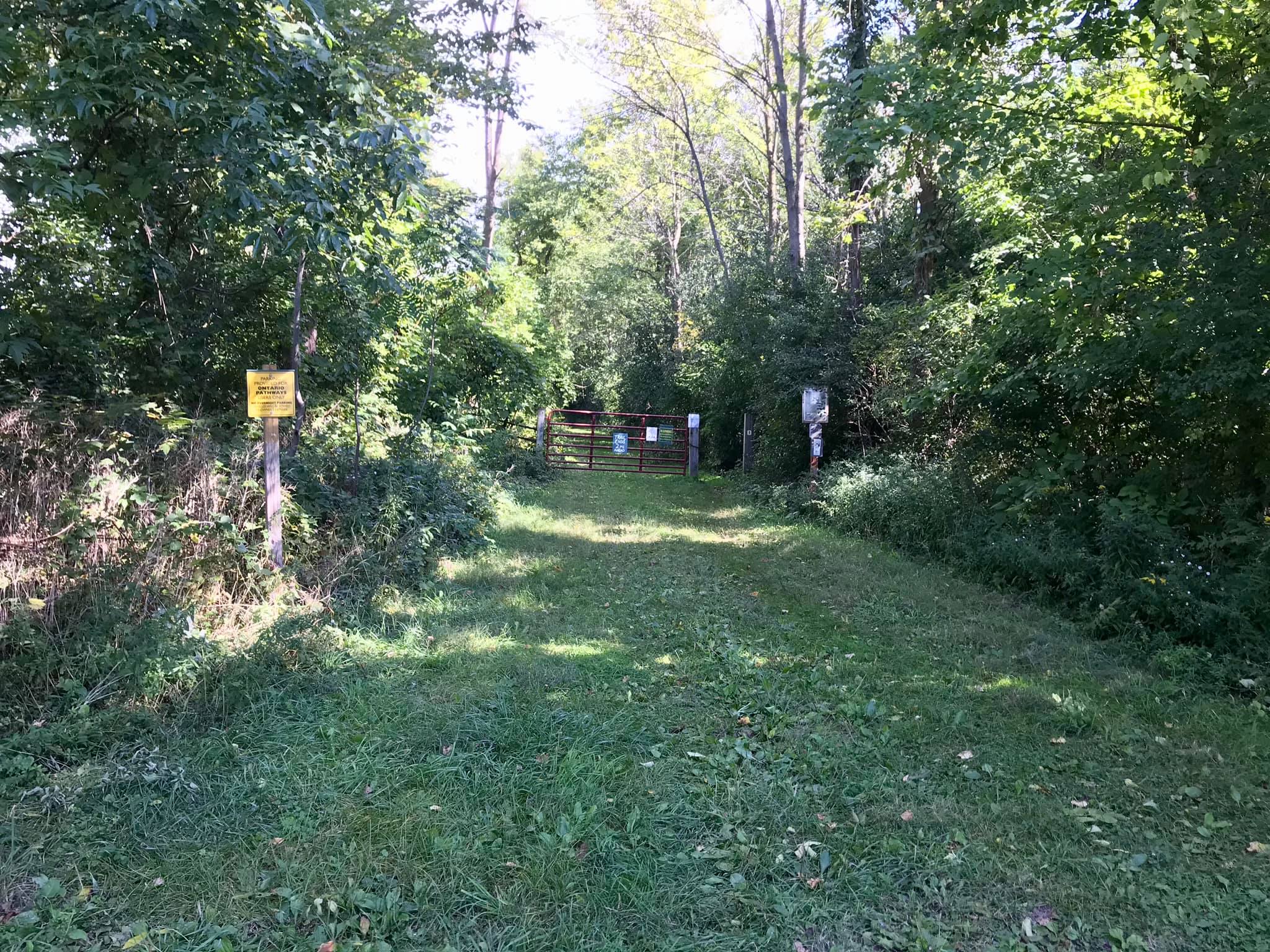
- Gifford Road trailhead.